Parau Area, Parau Postcode(0604) & Map in Parau
Parau Area, Parau Postcode(0604) & Map in Parau, Auckland, New Zealand
Parau, Auckland, New Zealand
Parau Postcodes
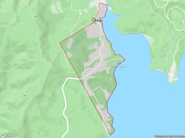
Parau Area (estimated)
1.8 square kilometersParau Population (estimated)
510 people live in Parau, Waitākere Ranges, NZParau Suburb Area Map (Polygon)
Parau Introduction
Parau is a suburb of Auckland, New Zealand, located in the North Shore City Council area. It is known for its scenic beach and peaceful atmosphere, with a population of around 2,000 people. The area has a variety of housing options, including apartments, townhouses, and detached homes, and is popular with families and retirees. Parau is also home to a number of recreational facilities, including a golf course, a tennis club, and a community center.Region
Major City
Suburb Name
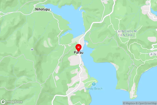
ParauParau Area Map (Street)
Local Authority
AucklandFull Address
Parau, Auckland, New ZealandAddress Type
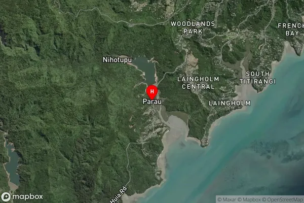
Suburb in City AucklandParau Suburb Map (Satellite)
Country
Main Region in AU
AucklandParau Region Map
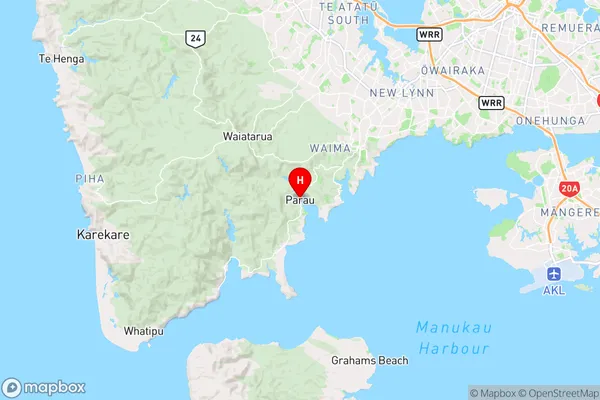
Coordinates
-36.9672166,174.6140658 (latitude/longitude)Distances
The distance from Parau, Auckland, Auckland to NZ Top 10 Cities