Bexley Area, Bexley Postcode(8061) & Map in Bexley
Bexley Area, Bexley Postcode(8061) & Map in Bexley, Christchurch City, New Zealand
Bexley, Christchurch City, New Zealand
Bexley Postcodes
Bexley Area (estimated)
2.6 square kilometersBexley Population (estimated)
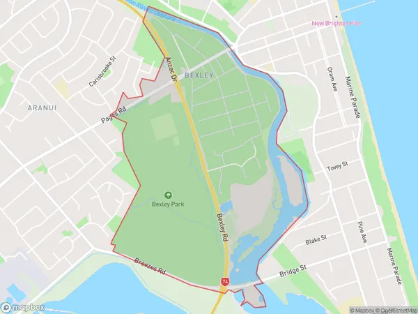
127 people live in Bexley, Coastal-Burwood Community, NZBexley Suburb Area Map (Polygon)
Bexley Introduction
Bexley is a suburb of Christchurch, New Zealand, located in the eastern suburbs of the city. It is known for its historic homes and gardens, as well as its close proximity to the Christchurch Botanic Gardens and the University of Canterbury. Bexley was named after the English town of Bexleyheath and was established in the 1850s.Region
Major City
Suburb Name
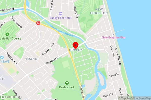
BexleyBexley Area Map (Street)
Local Authority
Christchurch CityFull Address
Bexley, Christchurch City, New ZealandAddress Type
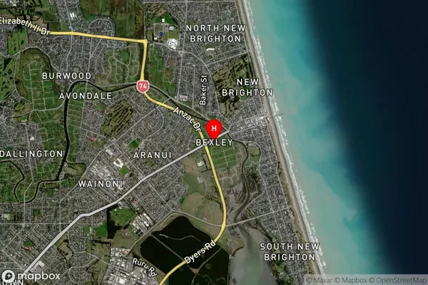
Suburb in City ChristchurchBexley Suburb Map (Satellite)
Country
Main Region in AU
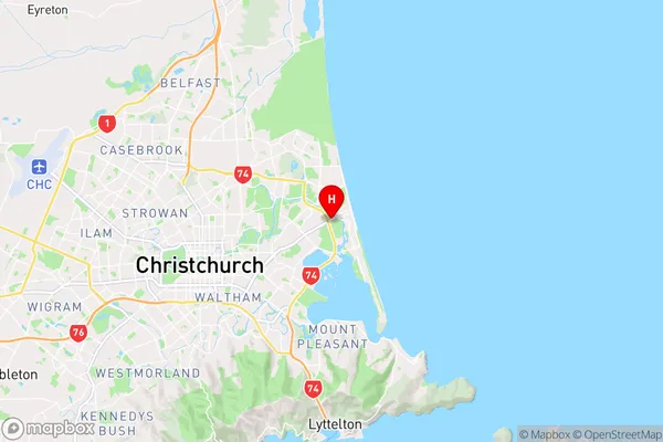
CanterburyBexley Region Map
Coordinates
-43.5110351,172.7183763 (latitude/longitude)Distances
The distance from Bexley, Christchurch, Christchurch City to NZ Top 10 Cities