Papatotara Area, Papatotara Postcode & Map in Papatotara
Papatotara Area, Papatotara Postcode & Map in Papatotara, Southland District, New Zealand
Papatotara, Southland District, New Zealand
Papatotara Area (estimated)
59.7 square kilometersPapatotara Population (estimated)
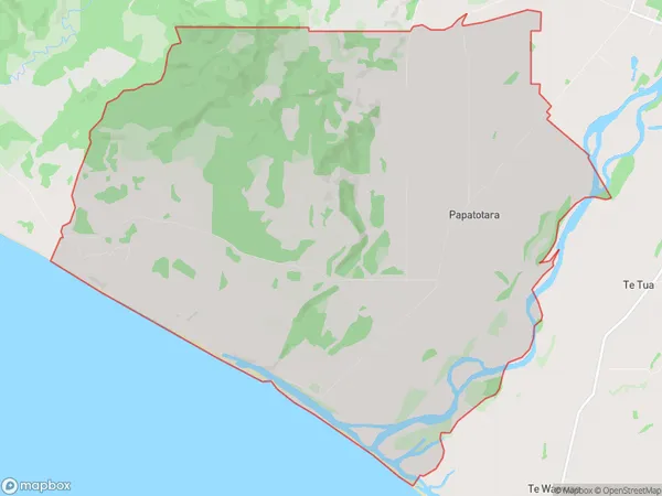
90 people live in Papatotara, Tuatapere Te Waewae Community, NZPapatotara Suburb Area Map (Polygon)
Papatotara Introduction
Papatotara is a small rural community in Southland, New Zealand. It is located on the banks of the Mataura River and is known for its scenic views and peaceful atmosphere. The community has a primary school, a post office, and a small supermarket. It is also home to a number of historic buildings, including the Papatotara Hotel, which was built in 1886.Region
Major City
Suburb Name
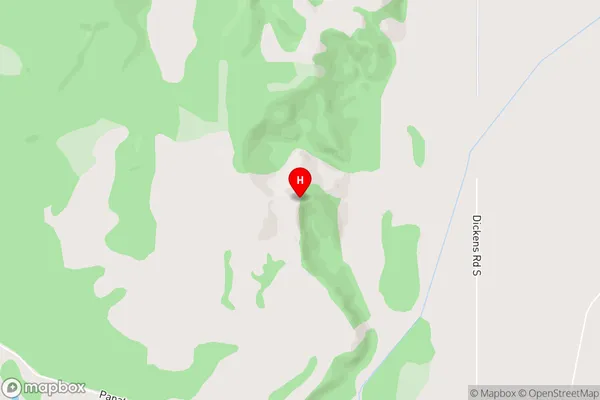
PapatotaraPapatotara Area Map (Street)
Local Authority
Southland DistrictFull Address
Papatotara, Southland District, New ZealandAddress Type
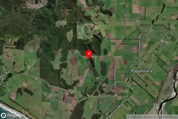
Locality in Town TuataperePapatotara Suburb Map (Satellite)
Country
Main Region in AU
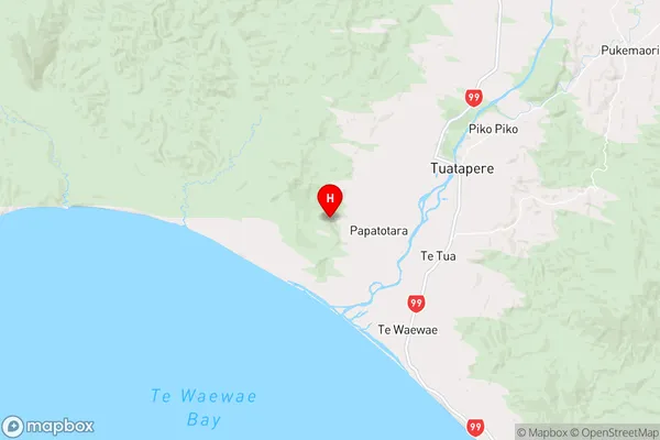
SouthlandPapatotara Region Map
Coordinates
-46.154688,167.608302 (latitude/longitude)Distances
The distance from Papatotara, Tuatapere, Southland District to NZ Top 10 Cities