Papanui Area, Papanui Postcode(8052) & Map in Papanui
Papanui Area, Papanui Postcode(8052) & Map in Papanui, Christchurch City, New Zealand
Papanui, Christchurch City, New Zealand
Papanui Area (estimated)
3.4 square kilometersPapanui Population (estimated)
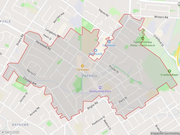
6799 people live in Papanui, Christchurch, NZPapanui Suburb Area Map (Polygon)
Papanui Introduction
Papanui is a suburb of Christchurch, New Zealand, located in the eastern part of the city. It is known for its vibrant community, diverse housing, and easy access to the city's amenities. The suburb has a population of around 6,000 people and is home to a variety of shops, restaurants, and recreational facilities. Papanui is also home to the Papanui District School, a co-educational primary school with a strong reputation for academic excellence.Region
Major City
Suburb Name
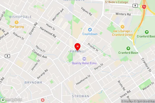
PapanuiPapanui Area Map (Street)
Local Authority
Christchurch CityFull Address
Papanui, Christchurch City, New ZealandAddress Type
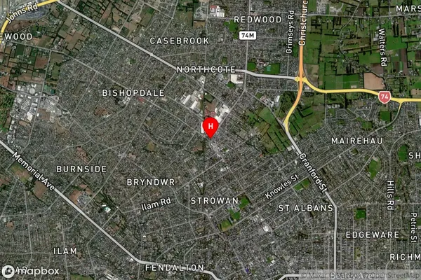
Suburb in City ChristchurchPapanui Suburb Map (Satellite)
Country
Main Region in AU
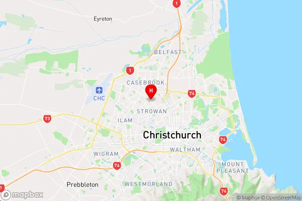
CanterburyPapanui Region Map
Coordinates
-43.4967917,172.607626 (latitude/longitude)Distances
The distance from Papanui, Christchurch, Christchurch City to NZ Top 10 Cities