Pakuranga Heights Area, Pakuranga Heights Postcode(2010) & Map in Pakuranga Heights
Pakuranga Heights Area, Pakuranga Heights Postcode(2010) & Map in Pakuranga Heights, Auckland, New Zealand
Pakuranga Heights, Auckland, New Zealand
Pakuranga Heights Postcodes
Pakuranga Heights Area (estimated)
4.2 square kilometersPakuranga Heights Population (estimated)
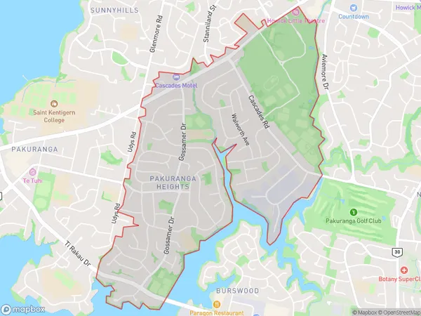
9790 people live in Pakuranga Heights, Howick, NZPakuranga Heights Suburb Area Map (Polygon)
Pakuranga Heights Introduction
Pakuranga Heights is a suburban area in Auckland, New Zealand, known for its lush greenery, peaceful atmosphere, and well-maintained homes. It is located in the eastern suburbs, approximately 20 kilometers from the city center, and offers a convenient lifestyle with easy access to public transportation, shopping centers, and recreational facilities. The area has a diverse population and is home to a mix of young professionals, families, and retirees.Region
Major City
Suburb Name
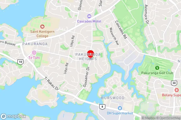
Pakuranga HeightsPakuranga Heights Area Map (Street)
Local Authority
AucklandFull Address
Pakuranga Heights, Auckland, New ZealandAddress Type
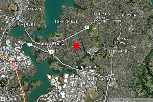
Suburb in City AucklandPakuranga Heights Suburb Map (Satellite)
Country
Main Region in AU
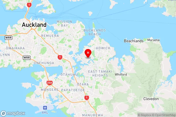
AucklandPakuranga Heights Region Map
Coordinates
-36.9154819,174.8892185 (latitude/longitude)Distances
The distance from Pakuranga Heights, Auckland, Auckland to NZ Top 10 Cities