Pakowhai Area, Pakowhai Postcode(4183) & Map in Pakowhai
Pakowhai Area, Pakowhai Postcode(4183) & Map in Pakowhai, Hastings District, New Zealand
Pakowhai, Hastings District, New Zealand
Pakowhai Postcodes
Pakowhai Area (estimated)
21.8 square kilometersPakowhai Population (estimated)
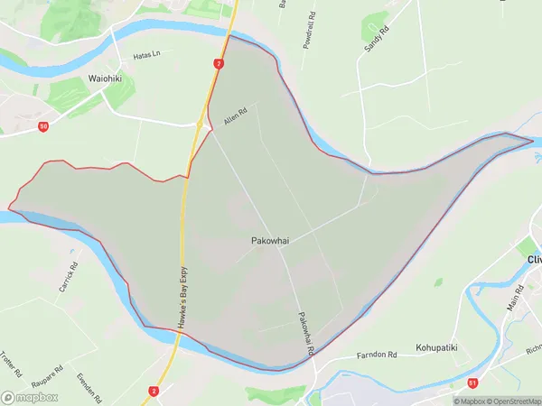
380 people live in Pakowhai, Hastings, NZPakowhai Suburb Area Map (Polygon)
Pakowhai Introduction
Pakowhai is a small rural community in the Napier region of Hawke's Bay, New Zealand. It is known for its picturesque gardens, rich history, and stunning natural surroundings. The area was first settled by Māori tribes in the 13th century and has since been developed into a popular tourist destination. Visitors can explore the historic Pakowhai Village, visit the Pakowhai Greenstone Quarry, or take a walk along the nearby Pakowhai Track. The community also hosts a variety of events and festivals throughout the year, including the Pakowhai Festival of Lights, which attracts thousands of visitors each year.Region
Major City
Suburb Name
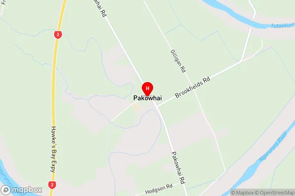
PakowhaiPakowhai Area Map (Street)
Local Authority
Hastings DistrictFull Address
Pakowhai, Hastings District, New ZealandAddress Type
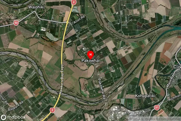
Locality in City NapierPakowhai Suburb Map (Satellite)
Country
Main Region in AU
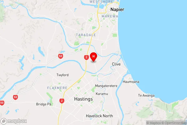
Hawke's BayPakowhai Region Map
Coordinates
-39.5800916,176.865356 (latitude/longitude)Distances
The distance from Pakowhai, Napier, Hastings District to NZ Top 10 Cities