Pahurehure Area, Pahurehure Postcode(2110) & Map in Pahurehure
Pahurehure Area, Pahurehure Postcode(2110) & Map in Pahurehure, Auckland, New Zealand
Pahurehure, Auckland, New Zealand
Pahurehure Area (estimated)
1.6 square kilometersPahurehure Population (estimated)
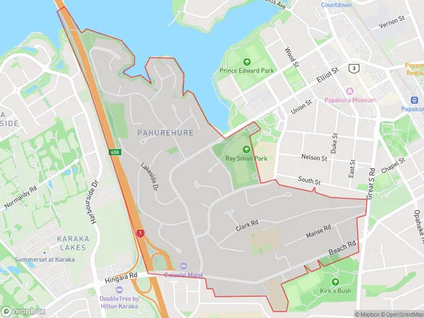
3608 people live in Pahurehure, Papakura, NZPahurehure Suburb Area Map (Polygon)
Pahurehure Introduction
Pahurehure, Papakura, Auckland, New Zealand, is a small rural community with a population of around 1,200 people. It is located in the southern suburbs of Auckland and is known for its beautiful countryside, historic buildings, and friendly community. The area has a rich history, with the first settlers arriving in the 1860s. It was originally a farming community, but today it is home to a variety of industries, including manufacturing, retail, and tourism. Pahurehure also has a popular public library and a community center, which hosts a range of events and activities throughout the year.Region
Major City
Suburb Name
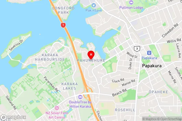
PahurehurePahurehure Area Map (Street)
Local Authority
AucklandFull Address
Pahurehure, Auckland, New ZealandAddress Type
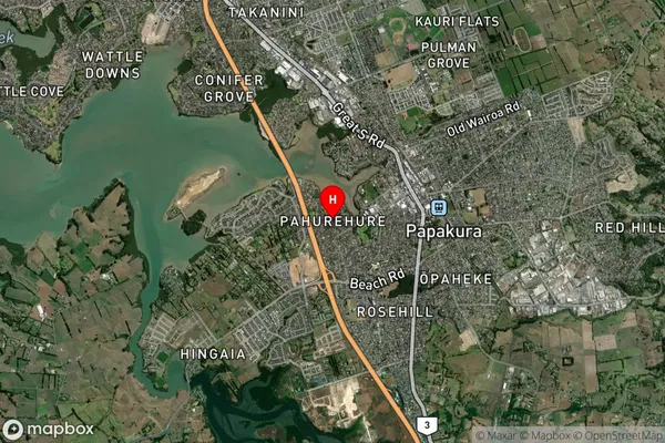
Suburb in Town PapakuraPahurehure Suburb Map (Satellite)
Country
Main Region in AU
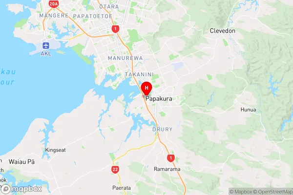
AucklandPahurehure Region Map
Coordinates
-37.0661702,174.9298686 (latitude/longitude)Distances
The distance from Pahurehure, Papakura, Auckland to NZ Top 10 Cities