Pahia Area, Pahia Postcode & Map in Pahia
Pahia Area, Pahia Postcode & Map in Pahia, Southland District, New Zealand
Pahia, Southland District, New Zealand
Pahia Area (estimated)
34.6 square kilometersPahia Population (estimated)
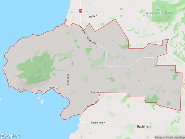
68 people live in Pahia, Tuatapere Te Waewae Community, NZPahia Suburb Area Map (Polygon)
Pahia Introduction
Pahia is a small town in Southland, New Zealand, located on the banks of the Pahia River. It is known for its scenic beauty, with lush green forests and a peaceful atmosphere. The town is a popular tourist destination and is home to a variety of outdoor activities, including hiking, fishing, and kayaking. It is also home to a number of historic buildings, including the Pahia Hotel, which was built in 1887.Region
0Suburb Name
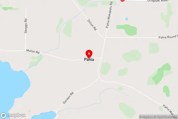
PahiaPahia Area Map (Street)
Local Authority
Southland DistrictFull Address
Pahia, Southland District, New ZealandAddress Type
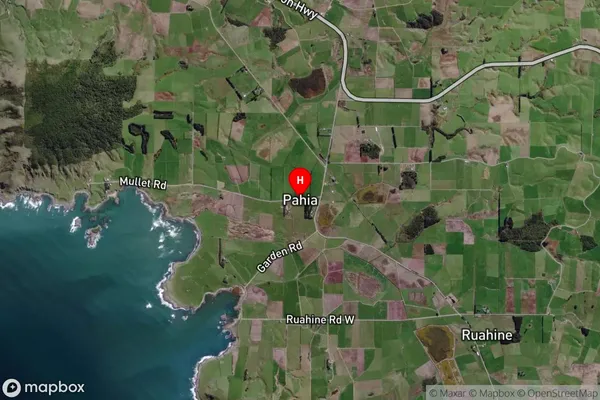
Locality in Town Riverton/AparimaPahia Suburb Map (Satellite)
Country
Main Region in AU
SouthlandPahia Region Map

Coordinates
-46.33229,167.74865 (latitude/longitude)Distances
The distance from Pahia, Riverton/Aparima, Southland District to NZ Top 10 Cities