Oware Area, Oware Postcode & Map in Oware
Oware Area, Oware Postcode & Map in Oware, Southland District, New Zealand
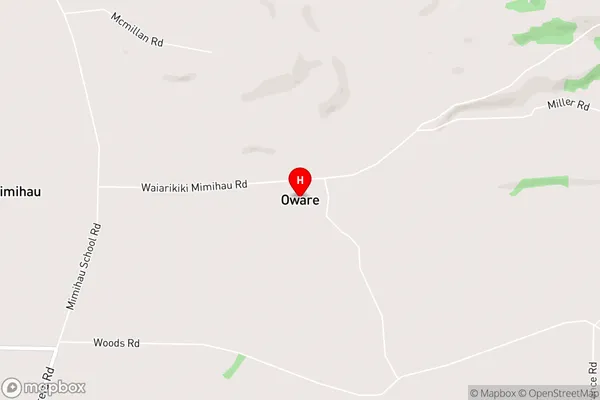
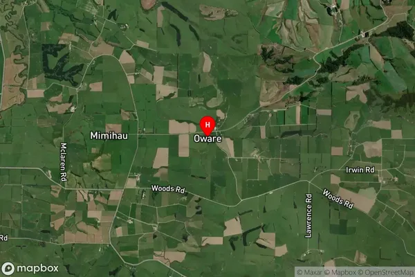
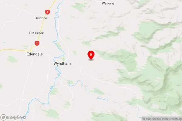
Oware, Southland District, New Zealand
Oware Area (estimated)
-1.2 square kilometersOware Population (estimated)
55 people live in Oware, Waihopai Toetoe Community, NZOware Suburb Area Map (Polygon)
Not available for nowOware Introduction
Oware is a small rural community in Southland, New Zealand, located on the banks of the Oware River. It is known for its scenic beauty, with lush green valleys and towering mountains surrounding the area. The community has a population of around 100 people and is home to a primary school, a church, and a few small businesses. The area is popular with outdoor enthusiasts, with many opportunities for hiking, fishing, and hunting.Region
Major City
Suburb Name
OwareOware Area Map (Street)
Local Authority
Southland DistrictFull Address
Oware, Southland District, New ZealandAddress Type
Locality in Town WyndhamOware Suburb Map (Satellite)
Country
Main Region in AU
SouthlandOware Region Map
Coordinates
-46.324557,168.9129495 (latitude/longitude)Distances
The distance from Oware, Wyndham, Southland District to NZ Top 10 Cities