Owaka Valley Area, Owaka Valley Postcode & Map in Owaka Valley
Owaka Valley Area, Owaka Valley Postcode & Map in Owaka Valley, Clutha District, New Zealand
Owaka Valley, Clutha District, New Zealand
Owaka Valley Area (estimated)
-1.2 square kilometersOwaka Valley Population (estimated)
89 people live in Owaka Valley, Otago, NZOwaka Valley Suburb Area Map (Polygon)
Not available for nowOwaka Valley Introduction
Owaka Valley is a picturesque rural area located in the southern region of Otago, New Zealand. It is known for its stunning natural scenery, including rolling hills, lush green forests, and crystal-clear rivers. The valley is home to a variety of wildlife, including kea, tui, and red-billed gulls. Visitors can enjoy hiking, mountain biking, and fishing in the area, or simply relax and take in the peaceful surroundings. The region is also famous for its delicious local produce, including apples, cherries, and strawberries.Region
Major City
Suburb Name
Owaka ValleyOther Name(s)
TahatikaOwaka Valley Area Map (Street)
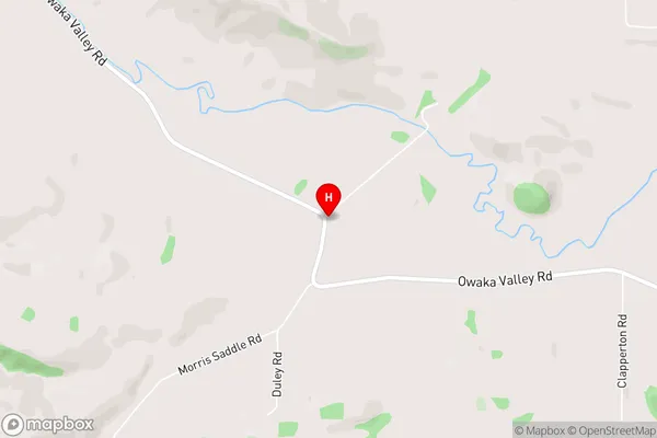
Local Authority
Clutha DistrictFull Address
Owaka Valley, Clutha District, New ZealandAddress Type
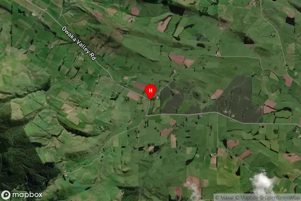
Locality in Town OwakaOwaka Valley Suburb Map (Satellite)
Country
Main Region in AU
OtagoOwaka Valley Region Map
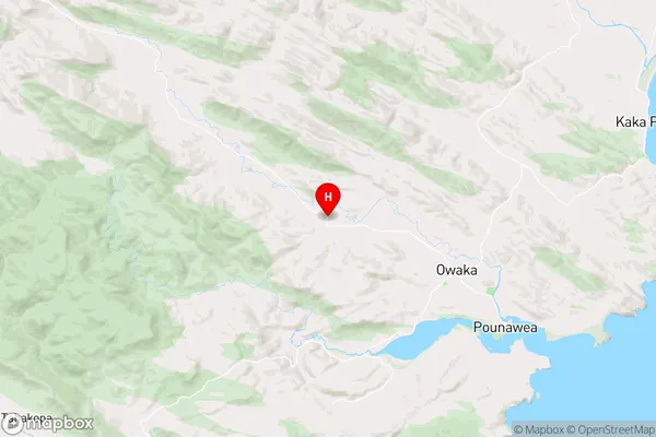
Coordinates
-46.426129,169.5818067 (latitude/longitude)Distances
The distance from Owaka Valley, Owaka, Clutha District to NZ Top 10 Cities