Oueroa Area, Oueroa Postcode & Map in Oueroa
Oueroa Area, Oueroa Postcode & Map in Oueroa, Central Hawke's Bay District, New Zealand
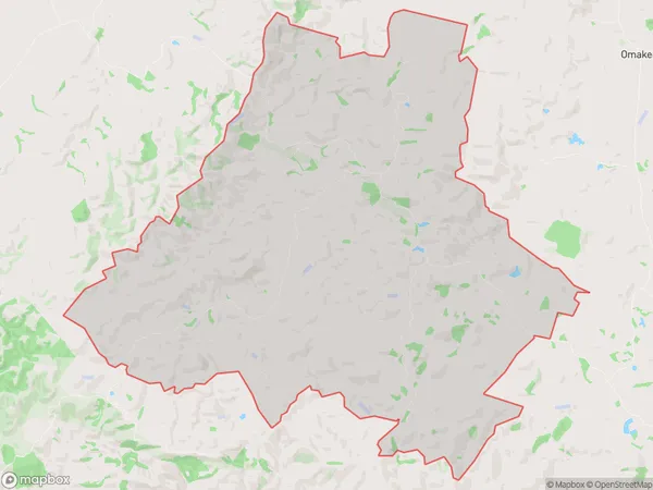
Oueroa, Central Hawke's Bay District, New Zealand
Oueroa Area (estimated)
102.4 square kilometersOueroa Population (estimated)
105 people live in Oueroa, Hawke's Bay, NZOueroa Suburb Area Map (Polygon)
Oueroa Introduction
Oueroa is a small rural community in Waipukurau, Hawke's Bay, New Zealand. It is known for its beautiful beaches, stunning scenery, and relaxed atmosphere. The community has a population of around 100 people and is located on the shores of the Mahia Peninsula. Oueroa is a popular destination for tourists and locals alike, with many opportunities for fishing, hiking, and exploring the natural beauty of the area.Region
Major City
Suburb Name
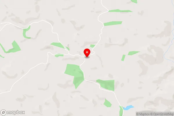
OueroaOueroa Area Map (Street)
Local Authority
Central Hawke's Bay DistrictFull Address
Oueroa, Central Hawke's Bay District, New ZealandAddress Type
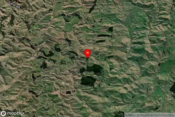
Locality in Town WaipukurauOueroa Suburb Map (Satellite)
Country
Main Region in AU
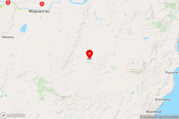
Hawke's BayOueroa Region Map
Coordinates
-40.0764779,176.6767001 (latitude/longitude)Distances
The distance from Oueroa, Waipukurau, Central Hawke's Bay District to NZ Top 10 Cities