Oteramika Area, Oteramika Postcode & Map in Oteramika
Oteramika Area, Oteramika Postcode & Map in Oteramika, Southland District, New Zealand
Oteramika, Southland District, New Zealand
Oteramika Area (estimated)
22.5 square kilometersOteramika Population (estimated)
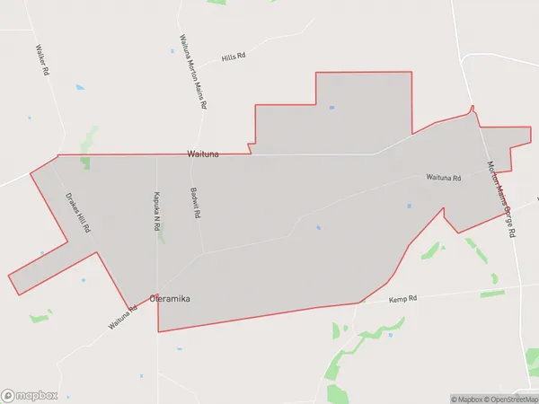
76 people live in Oteramika, Waihopai Toetoe Community, NZOteramika Suburb Area Map (Polygon)
Oteramika Introduction
Oteramika is a small rural community in Southland, New Zealand. It is located on the banks of the Oteramika River, 12 kilometers south of Wyndham and 22 kilometers north of Gore. The area was first settled by Māori in the 13th century and was known for its rich forestry and fishing industries. Today, Oteramika is a popular tourist destination, with visitors coming to enjoy the stunning natural scenery, hiking trails, and wildlife. The community also has a primary school, a post office, and a small supermarket.Region
Major City
Suburb Name
OteramikaOther Name(s)
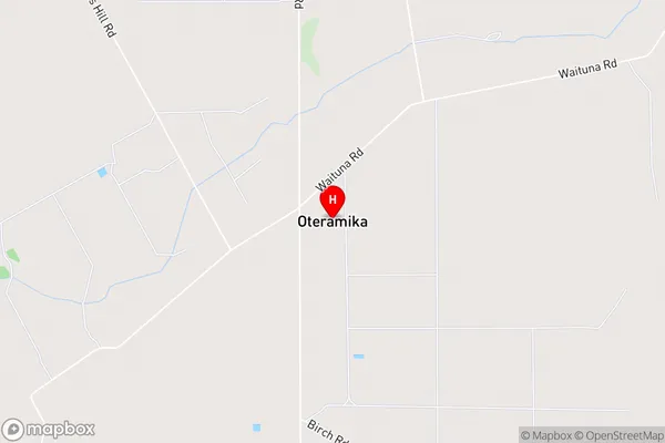
WaitunaOteramika Area Map (Street)
Local Authority
Southland DistrictFull Address
Oteramika, Southland District, New ZealandAddress Type
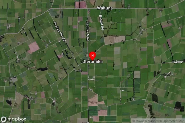
Locality in Town WyndhamOteramika Suburb Map (Satellite)
Country
Main Region in AU
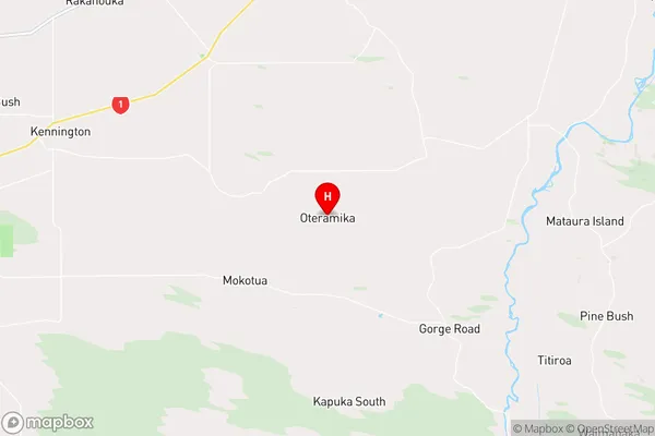
SouthlandOteramika Region Map
Coordinates
-46.42567,168.62619 (latitude/longitude)Distances
The distance from Oteramika, Wyndham, Southland District to NZ Top 10 Cities