Belmont Area, Belmont Postcode(5045) & Map in Belmont
Belmont Area, Belmont Postcode(5045) & Map in Belmont, Lower Hutt City, New Zealand
Belmont, Lower Hutt City, New Zealand
Belmont Area (estimated)
19.5 square kilometersBelmont Population (estimated)
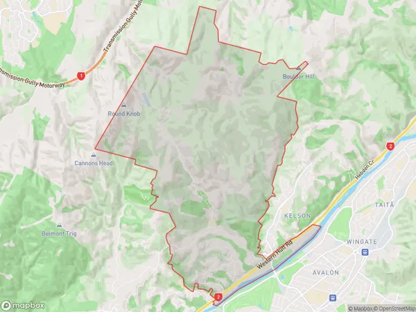
3074 people live in Belmont, Lower Hutt, NZBelmont Suburb Area Map (Polygon)
Belmont Introduction
Belmont is a suburb in Lower Hutt, Wellington, New Zealand. It is located on the southern shore of the Hutt River and is known for its peaceful atmosphere, scenic views, and popular walking and cycling paths. The area has a mix of residential and commercial properties, including a shopping center, library, and medical facilities. Belmont is also home to a large number of parks and recreational areas, including the popular Belmont Park and the Belmont Regional Park.Region
Major City
Suburb Name
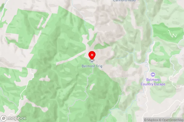
BelmontBelmont Area Map (Street)
Local Authority
Lower Hutt CityFull Address
Belmont, Lower Hutt City, New ZealandAddress Type
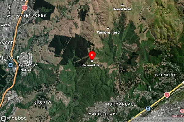
Suburb in City Lower HuttBelmont Suburb Map (Satellite)
Country
Main Region in AU
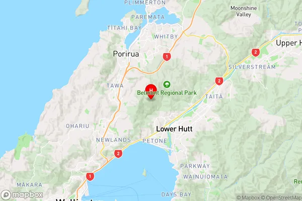
WellingtonBelmont Region Map
Coordinates
-41.1833986,174.8740266 (latitude/longitude)Distances
The distance from Belmont, Lower Hutt, Lower Hutt City to NZ Top 10 Cities