Orton Area, Orton Postcode(7986) & Map in Orton
Orton Area, Orton Postcode(7986) & Map in Orton, Timaru District, New Zealand
Orton, Timaru District, New Zealand
Orton Postcodes
Orton Area (estimated)
106.4 square kilometersOrton Population (estimated)
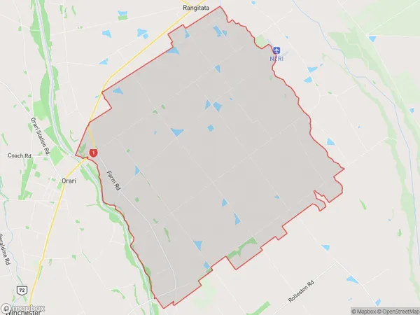
155 people live in Orton, Canterbury, NZOrton Suburb Area Map (Polygon)
Orton Introduction
Orton is a small rural community in Temuka, Canterbury, New Zealand. It is located on the banks of the Orton River and is known for its beautiful countryside and historic buildings. The community has a primary school, a post office, a convenience store, and a community hall. The area is popular with outdoor enthusiasts, with many walking and cycling trails nearby.Region
Major City
Suburb Name
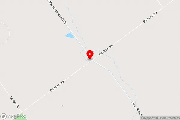
OrtonOrton Area Map (Street)
Local Authority
Timaru DistrictFull Address
Orton, Timaru District, New ZealandAddress Type
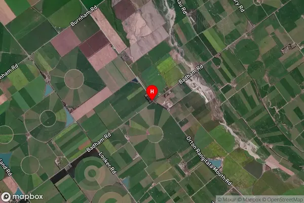
Locality in Town TemukaOrton Suburb Map (Satellite)
Country
Main Region in AU
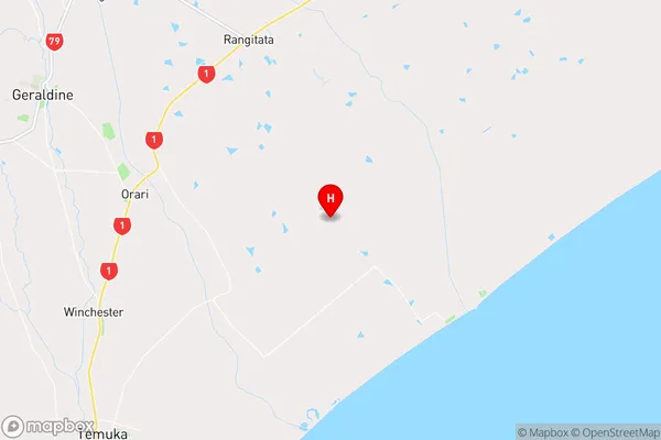
CanterburyOrton Region Map
Coordinates
-44.1481713,171.4220595 (latitude/longitude)Distances
The distance from Orton, Temuka, Timaru District to NZ Top 10 Cities