Oropi Area, Oropi Postcode(3173) & Map in Oropi
Oropi Area, Oropi Postcode(3173) & Map in Oropi, Western Bay of Plenty District, New Zealand
Oropi, Western Bay of Plenty District, New Zealand
Oropi Postcodes
Oropi Area (estimated)
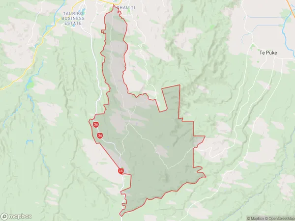
133.9 square kilometersOropi Population (estimated)
2750 people live in Oropi, Bay of Plenty, NZOropi Suburb Area Map (Polygon)
Oropi Introduction
Oropi is a small town in the Bay of Plenty region of New Zealand. It is known for its historic buildings and scenic surroundings, including the Oropi Falls and the Oropi Forest. The town has a population of around 1,000 people and is located on the banks of the Oropi River.Region
Major City
Suburb Name
OropiOther Name(s)
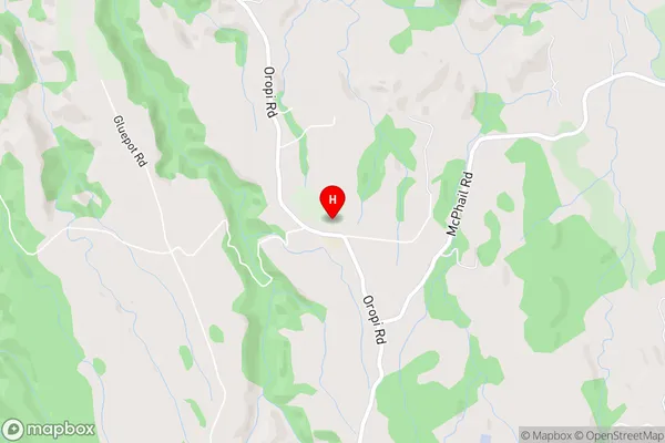
Mangatoi, WaimapuOropi Area Map (Street)
Local Authority
Western Bay of Plenty DistrictFull Address
Oropi, Western Bay of Plenty District, New ZealandAddress Type
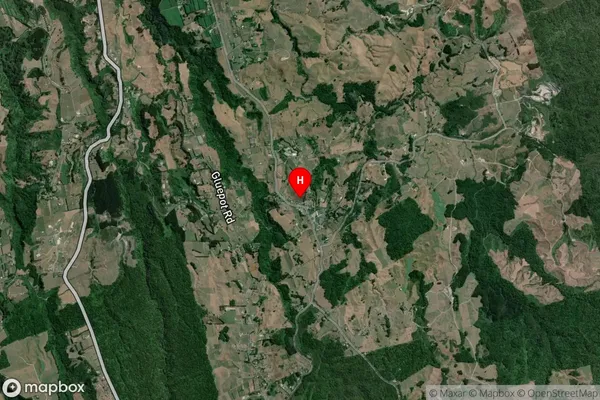
Locality in Town OropiOropi Suburb Map (Satellite)
Country
Main Region in AU
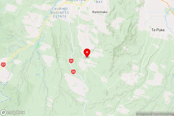
Bay of PlentyOropi Region Map
Coordinates
-37.8378523,176.1588623 (latitude/longitude)Distances
The distance from Oropi, Oropi, Western Bay of Plenty District to NZ Top 10 Cities