Orongo Area, Orongo Postcode(3500) & Map in Orongo
Orongo Area, Orongo Postcode(3500) & Map in Orongo, Hauraki District, New Zealand
Orongo, Hauraki District, New Zealand
Orongo Postcodes
Orongo Area (estimated)
31.5 square kilometersOrongo Population (estimated)
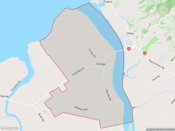
329 people live in Orongo, Waikato, NZOrongo Suburb Area Map (Polygon)

Orongo Introduction
Orongo is a Māori village on the banks of the Otorohanga River, in the Waikato region of New Zealand's North Island. It is known for its ancient stone carvings, which are considered some of the best examples of Māori carving in the world. The village is also home to a large population of Māori, who continue to practice their traditional culture and language.Region
0Suburb Name
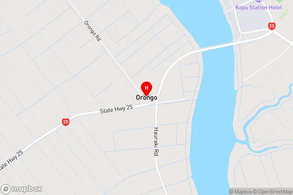
OrongoOrongo Area Map (Street)

Local Authority
Hauraki DistrictFull Address
Orongo, Hauraki District, New ZealandAddress Type
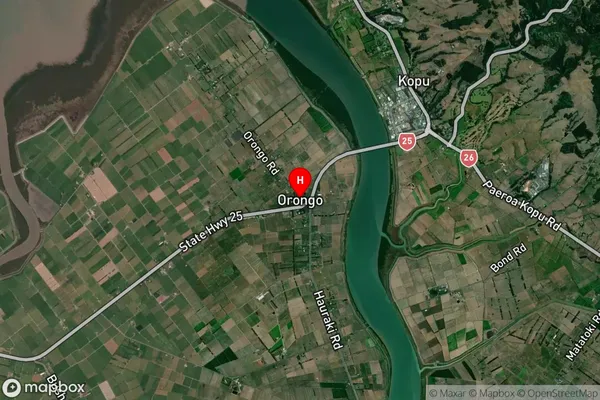
Locality in Town ThamesOrongo Suburb Map (Satellite)

Country
Main Region in AU
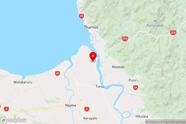
WaikatoOrongo Region Map

Coordinates
-37.1978899,175.5502372 (latitude/longitude)Distances
The distance from Orongo, Thames, Hauraki District to NZ Top 10 Cities