Ormondville Area, Ormondville Postcode(4287) & Map in Ormondville, Central Hawke's Bay District
Ormondville Area, Ormondville Postcode(4287) & Map in Ormondville, Central Hawke's Bay District, Tararua District, New Zealand
Ormondville, Central Hawke's Bay District, Tararua District, New Zealand
Ormondville Postcodes
Ormondville Area (estimated)
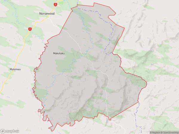
212.7 square kilometersOrmondville Population (estimated)
523 people live in Ormondville, Manawatu-Wanganui, NZOrmondville Suburb Area Map (Polygon)
Ormondville Introduction
Ormondville is a small town in the Manawatu-Wanganui region of New Zealand. It is located on State Highway 3, approximately 35 km south of Palmerston North and 12 km north of Wanganui. The town has a population of around 1,200 people and is known for its historic buildings and scenic surroundings. The Ormondville railway station was opened in 1878 and closed in 1975. The town also has a golf course, a sports club, and a community hall.Region
0Suburb Name
OrmondvilleOther Name(s)
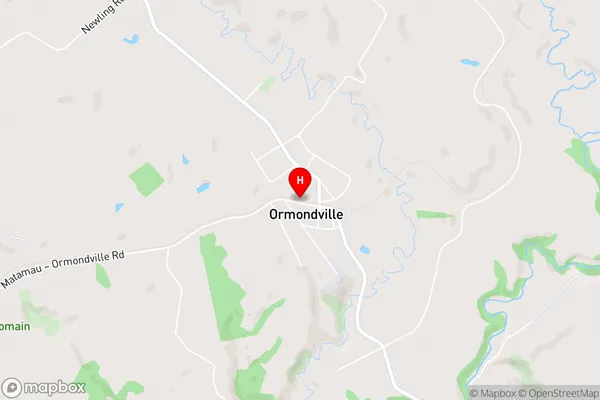
Kopua, Makotuku, Whenuahou, WhetukuraOrmondville Area Map (Street)
Local Authority
Central Hawke's Bay District, Tararua DistrictFull Address
Ormondville, Central Hawke's Bay District, Tararua District, New ZealandAddress Type
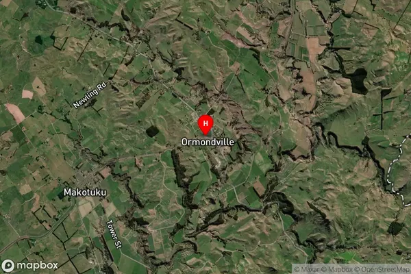
Locality in Major Locality OrmondvilleOrmondville Suburb Map (Satellite)
Country
Main Region in AU
Manawatu-WanganuiOrmondville Region Map

Coordinates
-40.1107901,176.2634761 (latitude/longitude)Distances
The distance from Ormondville, Ormondville, Central Hawke's Bay District, Tararua District to NZ Top 10 Cities