Oreti Plains Area, Oreti Plains Postcode & Map in Oreti Plains
Oreti Plains Area, Oreti Plains Postcode & Map in Oreti Plains, Southland District, New Zealand
Oreti Plains, Southland District, New Zealand
Oreti Plains Area (estimated)
77.8 square kilometersOreti Plains Population (estimated)
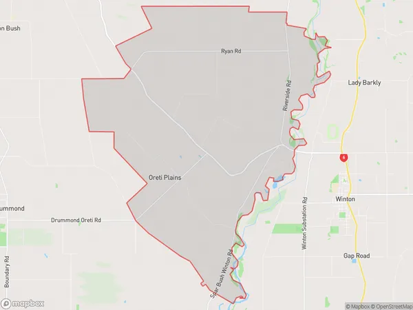
224 people live in Oreti Plains, Oreti Community, NZOreti Plains Suburb Area Map (Polygon)
Oreti Plains Introduction
Oreti Plains is a wetland area in Southland, New Zealand, covering 15,000 hectares. It is home to a variety of wildlife, including endangered species such as the southern brown kiwi and the black stilt. The plains are also important for farming, with over 1,000 hectares of land used for grazing and crop production. The area has a rich history, with evidence of human settlement dating back to over 1000 years ago.Region
Major City
Suburb Name
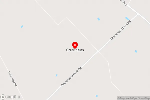
Oreti PlainsOreti Plains Area Map (Street)
Local Authority
Southland DistrictFull Address
Oreti Plains, Southland District, New ZealandAddress Type
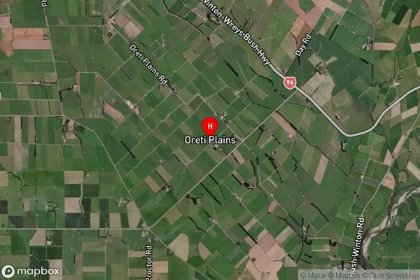
Locality in Town WintonOreti Plains Suburb Map (Satellite)
Country
Main Region in AU
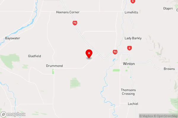
SouthlandOreti Plains Region Map
Coordinates
-46.1338014,168.2317147 (latitude/longitude)Distances
The distance from Oreti Plains, Winton, Southland District to NZ Top 10 Cities