Orepuki Area, Orepuki Postcode & Map in Orepuki
Orepuki Area, Orepuki Postcode & Map in Orepuki, Southland District, New Zealand
Orepuki, Southland District, New Zealand
Orepuki Area (estimated)
39.8 square kilometersOrepuki Population (estimated)
92 people live in Orepuki, Tuatapere Te Waewae Community, NZOrepuki Suburb Area Map (Polygon)

Orepuki Introduction
Orepuki is a small rural town located in the Riverton/Aparima district of Southland, New Zealand. It is situated on the banks of the Orepuki River and is known for its stunning natural scenery, including the Orepuki Gorge and the Orepuki Beach. The town has a population of around 1,000 people and is a popular destination for tourists and outdoor enthusiasts. It is also home to a number of historic buildings, including the Orepuki Hotel, which was built in 1887.Region
Major City
Suburb Name
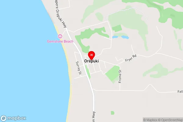
OrepukiOrepuki Area Map (Street)
Local Authority
Southland DistrictFull Address
Orepuki, Southland District, New ZealandAddress Type
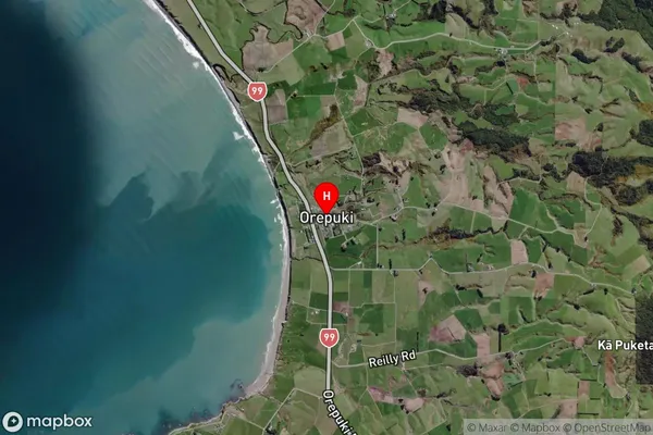
Locality in Town Riverton/AparimaOrepuki Suburb Map (Satellite)
Country
Main Region in AU
SouthlandOrepuki Region Map

Coordinates
-46.2813342,167.7384665 (latitude/longitude)Distances
The distance from Orepuki, Riverton/Aparima, Southland District to NZ Top 10 Cities