Opawa Area, Opawa Postcode(8023) & Map in Opawa
Opawa Area, Opawa Postcode(8023) & Map in Opawa, Christchurch City, New Zealand
Opawa, Christchurch City, New Zealand
Opawa Area (estimated)
0.9 square kilometersOpawa Population (estimated)
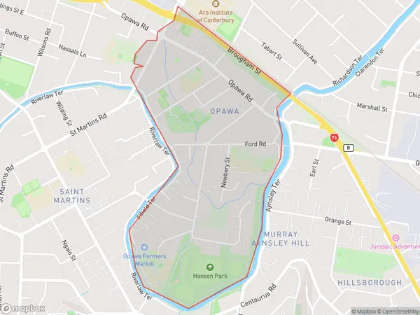
1374 people live in Opawa, Linwood-Central-Heathcote Community, NZOpawa Suburb Area Map (Polygon)
Opawa Introduction
Opawa is a suburb of Christchurch, New Zealand, located 7 km south of the city center. It is known for its historic homes and gardens, and the Opawa River, which flows through the suburb. The area was developed in the 1850s and 1860s as a residential suburb for Christchurch's wealthy citizens. Today, Opawa is a popular residential area with a mix of older homes and new developments. It is also home to a variety of shops, restaurants, and recreational facilities, including the Opawa Park and Zoo.Region
Major City
Suburb Name
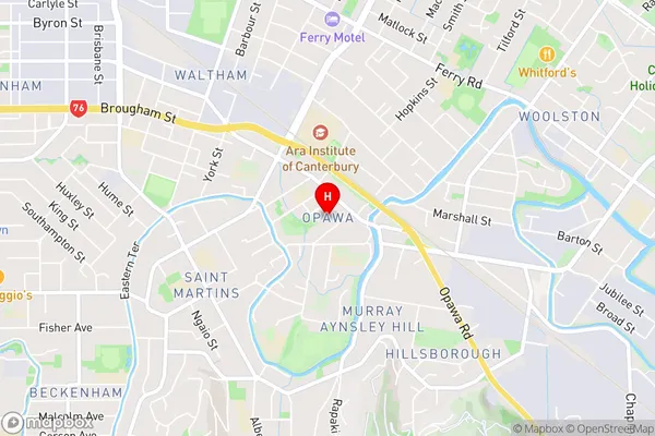
OpawaOpawa Area Map (Street)
Local Authority
Christchurch CityFull Address
Opawa, Christchurch City, New ZealandAddress Type
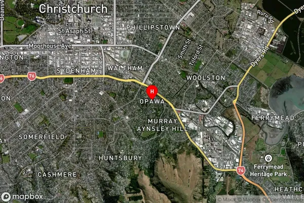
Suburb in City ChristchurchOpawa Suburb Map (Satellite)
Country
Main Region in AU
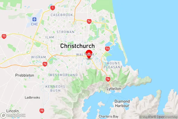
CanterburyOpawa Region Map
Coordinates
-43.5536905,172.663178 (latitude/longitude)Distances
The distance from Opawa, Christchurch, Christchurch City to NZ Top 10 Cities