Opaheke Area, Opaheke Postcode(2577) & Map in Opaheke
Opaheke Area, Opaheke Postcode(2577) & Map in Opaheke, Auckland, New Zealand
Opaheke, Auckland, New Zealand
Opaheke Area (estimated)
12.3 square kilometersOpaheke Population (estimated)
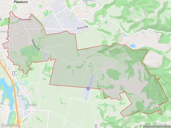
4516 people live in Opaheke, Franklin, NZOpaheke Suburb Area Map (Polygon)
Opaheke Introduction
Opaheke is a suburb of Auckland, New Zealand, with a population of around 11,000 people. It is located in the southern part of the city and is known for its diverse community and vibrant cultural heritage. The suburb has a rich Maori history and is home to the Opaheke Marae, a significant cultural center for the local Maori community. Opaheke also has a number of parks and recreational facilities, including a golf course and a sports complex. The area is well-connected to other parts of Auckland via public transport, and is within easy reach of the city's central business district.Region
Major City
Suburb Name
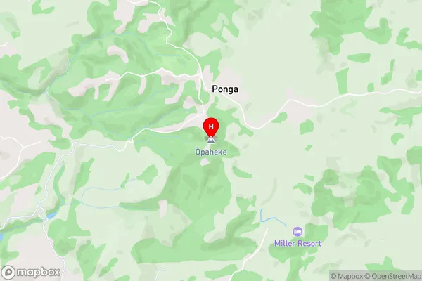
Opaheke (Maori Name: Ōpaheke)Opaheke Area Map (Street)
Local Authority
AucklandFull Address
Opaheke, Auckland, New ZealandAddress Type
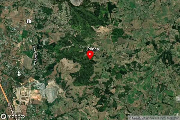
Suburb in Town PapakuraOpaheke Suburb Map (Satellite)
Country
Main Region in AU
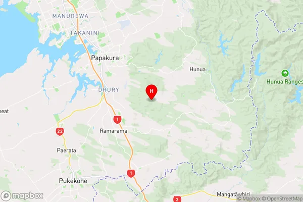
AucklandOpaheke Region Map
Coordinates
-37.1141547,175.0104283 (latitude/longitude)Distances
The distance from Opaheke, Papakura, Auckland to NZ Top 10 Cities