One Tree Hill Area, One Tree Hill Postcode(1051) & Map in One Tree Hill
One Tree Hill Area, One Tree Hill Postcode(1051) & Map in One Tree Hill, Auckland, New Zealand
One Tree Hill, Auckland, New Zealand
One Tree Hill Area (estimated)
2.4 square kilometersOne Tree Hill Population (estimated)
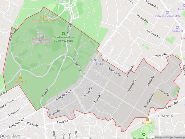
4603 people live in One Tree Hill, Maungakiekie-Tāmaki, NZOne Tree Hill Suburb Area Map (Polygon)
One Tree Hill Introduction
One Tree Hill is a residential suburb in Auckland, New Zealand, known for its picturesque tree-lined streets, historic homes, and vibrant community. It is located in the Eastern Suburbs and is bordered by St. Marys Bay, Remuera, and Epsom. The suburb has a rich history and was once home to prominent New Zealand families. It is also known for its excellent schools, including One Tree Hill College and St. Kentigern College. One Tree Hill is a popular destination for families and professionals seeking a peaceful and convenient lifestyle close to the city.Region
Major City
Suburb Name
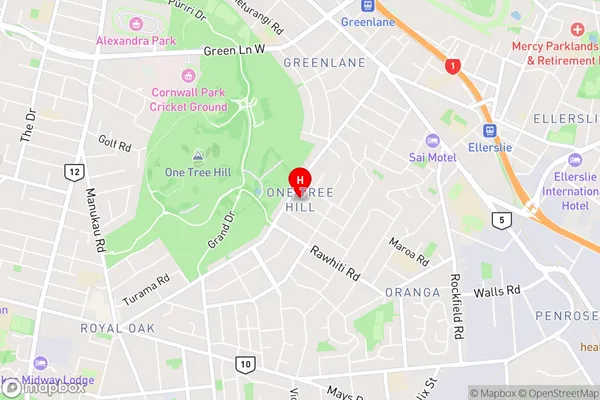
One Tree HillOne Tree Hill Area Map (Street)
Local Authority
AucklandFull Address
One Tree Hill, Auckland, New ZealandAddress Type
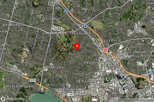
Suburb in City AucklandOne Tree Hill Suburb Map (Satellite)
Country
Main Region in AU
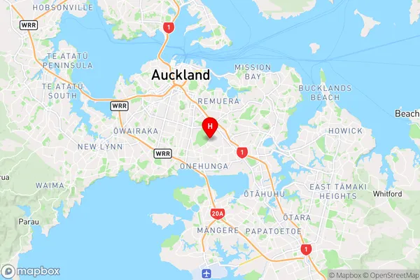
AucklandOne Tree Hill Region Map
Coordinates
-36.9031768,174.7918793 (latitude/longitude)Distances
The distance from One Tree Hill, Auckland, Auckland to NZ Top 10 Cities