Omihi Area, Omihi Postcode(7483) & Map in Omihi
Omihi Area, Omihi Postcode(7483) & Map in Omihi, Hurunui District, New Zealand
Omihi, Hurunui District, New Zealand
Omihi Postcodes
Omihi Area (estimated)
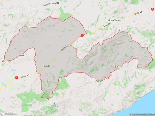
121.4 square kilometersOmihi Population (estimated)
115 people live in Omihi, Canterbury, NZOmihi Suburb Area Map (Polygon)
Omihi Introduction
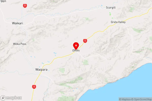
Omihi is a small rural community in Waipara, Canterbury, New Zealand. It is located on State Highway 1, approximately 30 kilometers north of Waipara and 120 kilometers south of Christchurch. The area is known for its scenic rural landscapes, including rolling hills, farmland, and picturesque rivers. Omihi has a population of around 100 people and is home to a primary school, a church, and a small convenience store. The community is surrounded by lush green farmland and is a popular destination for outdoor activities such as hiking, cycling, and fishing.Region
0Suburb Name
OmihiOther Name(s)
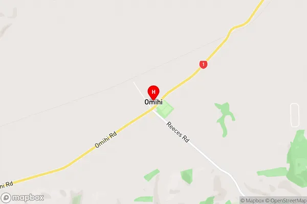
Scargill Valley, SpyeOmihi Area Map (Street)
Local Authority
Hurunui DistrictFull Address
Omihi, Hurunui District, New ZealandAddress Type
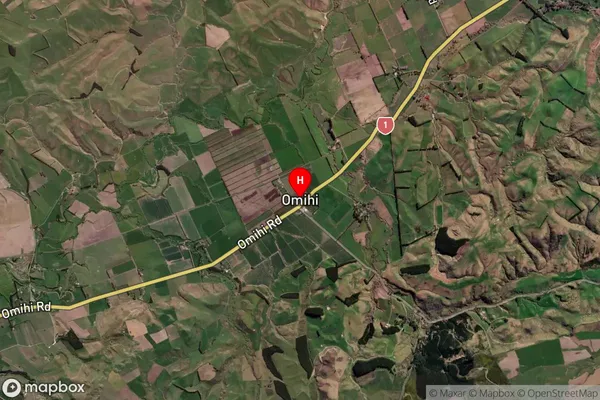
Locality in Major Locality WaiparaOmihi Suburb Map (Satellite)
Country
Main Region in AU
CanterburyOmihi Region Map
Coordinates
-43.020694,172.8540953 (latitude/longitude)Distances
The distance from Omihi, Waipara, Hurunui District to NZ Top 10 Cities