Omana Area, Omana Postcode & Map in Omana
Omana Area, Omana Postcode & Map in Omana, Kaipara District, New Zealand
Omana, Kaipara District, New Zealand
Omana Area (estimated)
-1.2 square kilometersOmana Population (estimated)
66 people live in Omana, Northland, NZOmana Suburb Area Map (Polygon)
Not available for nowOmana Introduction
Omana is a small rural community in Northland, New Zealand, located on the Tangiteroria Peninsula. It is known for its beautiful beaches, lush forests, and stunning natural scenery. The community has a population of around 100 people and is surrounded by farmland and coastal areas. Omana is a popular destination for tourists and outdoor enthusiasts, with many opportunities for hiking, fishing, and kayaking. The area is also home to a number of historic sites, including a former kauri gum factory and a Maori settlement.Region
Major City
Suburb Name
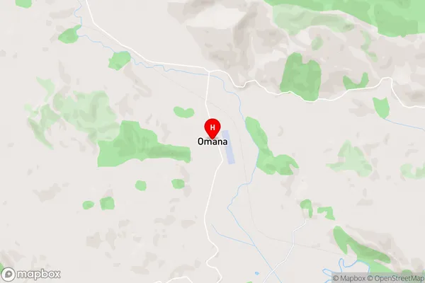
OmanaOmana Area Map (Street)
Local Authority
Kaipara DistrictFull Address
Omana, Kaipara District, New ZealandAddress Type
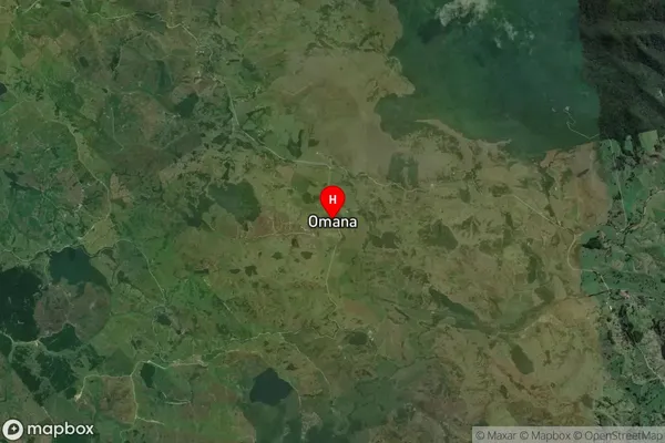
Locality in Major Locality TangiteroriaOmana Suburb Map (Satellite)
Country
Main Region in AU
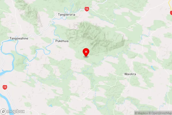
NorthlandOmana Region Map
Coordinates
-35.9052153,174.0937328 (latitude/longitude)Distances
The distance from Omana, Tangiteroria, Kaipara District to NZ Top 10 Cities