Belfast Area, Belfast Postcode(8051) & Map in Belfast
Belfast Area, Belfast Postcode(8051) & Map in Belfast, Christchurch City, New Zealand
Belfast, Christchurch City, New Zealand
Belfast Area (estimated)
12.3 square kilometersBelfast Population (estimated)
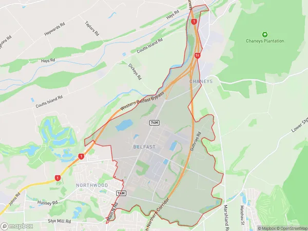
4195 people live in Belfast, Christchurch, NZBelfast Suburb Area Map (Polygon)
Belfast Introduction
Belfast is a city in Canterbury, New Zealand. It is located on the banks of the Avon River and is known for its historic architecture and vibrant arts scene. The city has a population of around 120,000 people and is home to a number of popular attractions, including the Christchurch Art Gallery, the Canterbury Museum, and the Botanic Gardens.Region
Major City
Suburb Name
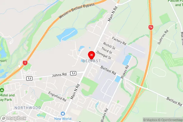
BelfastBelfast Area Map (Street)
Local Authority
Christchurch CityFull Address
Belfast, Christchurch City, New ZealandAddress Type
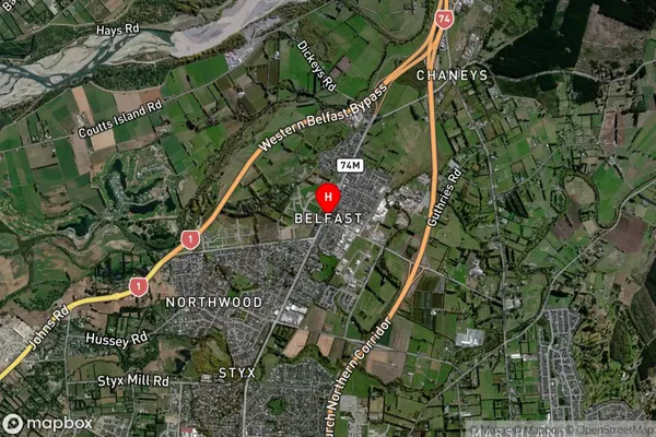
Suburb in City ChristchurchBelfast Suburb Map (Satellite)
Country
Main Region in AU
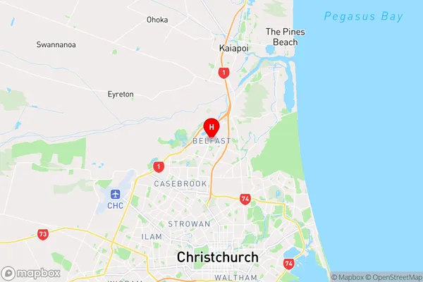
CanterburyBelfast Region Map
Coordinates
-43.44888,172.630454 (latitude/longitude)Distances
The distance from Belfast, Christchurch, Christchurch City to NZ Top 10 Cities