Okia Flat Area, Okia Flat Postcode(9054) & Map in Okia Flat
Okia Flat Area, Okia Flat Postcode(9054) & Map in Okia Flat, Dunedin City, New Zealand
Okia Flat, Dunedin City, New Zealand
Okia Flat Postcodes
Okia Flat Area (estimated)
10.4 square kilometersOkia Flat Population (estimated)
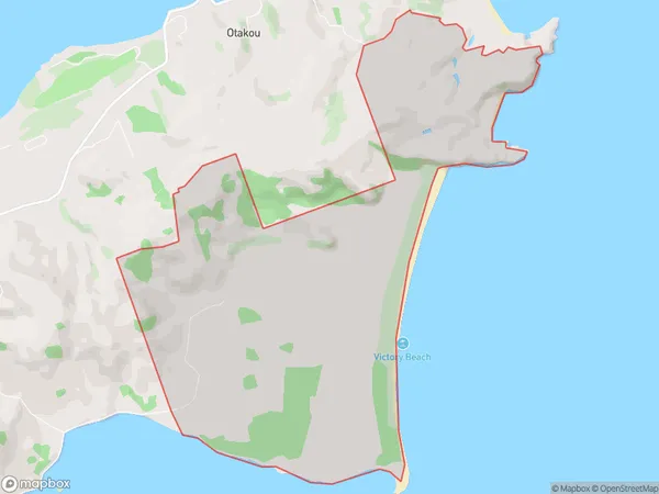
4 people live in Okia Flat, Otago, NZOkia Flat Suburb Area Map (Polygon)
Okia Flat Introduction
The Okia Flat is a historic area in Dunedin, New Zealand, known for its early European settlement and the presence of the Okia Flat Railway Station. It is located on the banks of the Otago Harbour and is home to a variety of historic buildings, including the Okia Flat School and the Okia Flat Post Office. The area also has a rich cultural heritage, with many of its residents being of Scottish and Irish descent.Region
Major City
Suburb Name
Okia FlatOther Name(s)
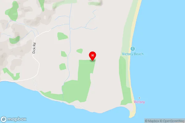
Te MataiOkia Flat Area Map (Street)
Local Authority
Dunedin CityFull Address
Okia Flat, Dunedin City, New ZealandAddress Type
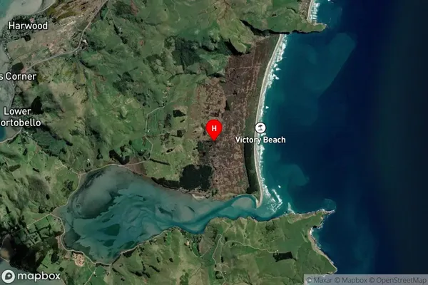
Locality in City DunedinOkia Flat Suburb Map (Satellite)
Country
Main Region in AU
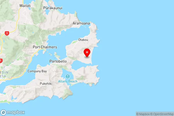
OtagoOkia Flat Region Map
Coordinates
-45.8342919,170.719501 (latitude/longitude)Distances
The distance from Okia Flat, Dunedin, Dunedin City to NZ Top 10 Cities