Ohoka Area, Ohoka Postcode(7692) & Map in Ohoka
Ohoka Area, Ohoka Postcode(7692) & Map in Ohoka, Waimakariri District, New Zealand
Ohoka, Waimakariri District, New Zealand
Ohoka Postcodes
Ohoka Area (estimated)
43.5 square kilometersOhoka Population (estimated)
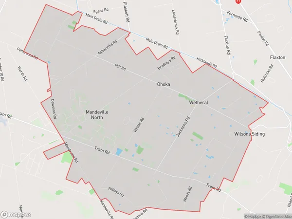
2432 people live in Ohoka, Canterbury, NZOhoka Suburb Area Map (Polygon)
Ohoka Introduction
Ohoka is a small town in Canterbury, New Zealand, located 12 kilometers south of Christchurch. It is known for its historic stone buildings and scenic surroundings, including the Ohoka River and the Ohoka Park Racecourse. The town has a population of around 3,500 people and is a popular destination for tourists and outdoor enthusiasts.Region
Major City
Suburb Name
OhokaOther Name(s)
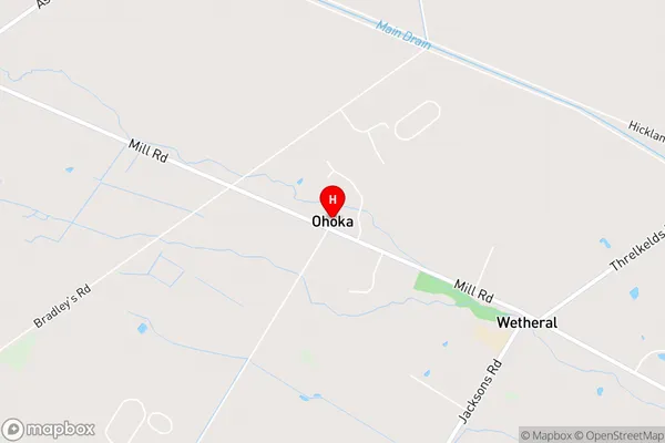
Mandeville North, WetheralOhoka Area Map (Street)
Local Authority
Waimakariri DistrictFull Address
Ohoka, Waimakariri District, New ZealandAddress Type
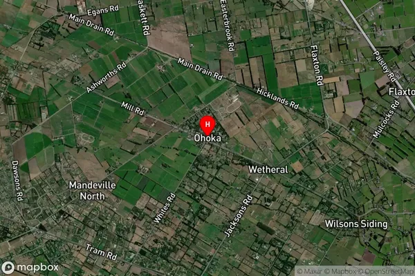
Locality in Town OhokaOhoka Suburb Map (Satellite)
Country
Main Region in AU
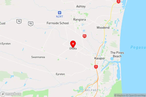
CanterburyOhoka Region Map
Coordinates
-43.3630619,172.5776605 (latitude/longitude)Distances
The distance from Ohoka, Ohoka, Waimakariri District to NZ Top 10 Cities