Ohaaki Area, Ohaaki Postcode(3330) & Map in Ohaaki
Ohaaki Area, Ohaaki Postcode(3330) & Map in Ohaaki, Taupo District, New Zealand
Ohaaki, Taupo District, New Zealand
Ohaaki Postcodes
Ohaaki Area (estimated)
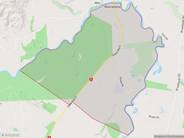
35.3 square kilometersOhaaki Population (estimated)
94 people live in Ohaaki, Waikato, NZOhaaki Suburb Area Map (Polygon)
Ohaaki Introduction
Ohaaki is a small rural community in Reporoa, Waikato, New Zealand. It is located on State Highway 2, approximately 25 km south of Morrinsville and 105 km north of Hamilton. The area is known for its scenic rural landscapes, including rolling hills, farms, and native forests. The community has a primary school, a post office, and a small supermarket. Ohaaki is a popular destination for outdoor enthusiasts, with numerous walking and cycling trails nearby. The area is also home to a number of historic buildings, including the Ohaaki Marae, which is a significant meeting place for the local Māori community.Region
0Suburb Name
OhaakiOther Name(s)
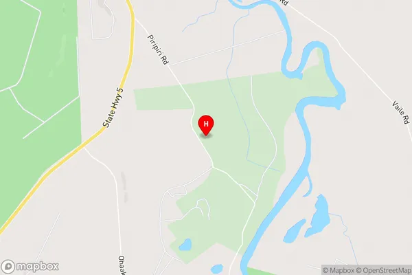
Mangamingi, WaimahanaOhaaki Area Map (Street)
Local Authority
Taupo DistrictFull Address
Ohaaki, Taupo District, New ZealandAddress Type
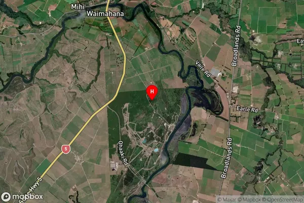
Locality in Town ReporoaOhaaki Suburb Map (Satellite)
Country
Main Region in AU
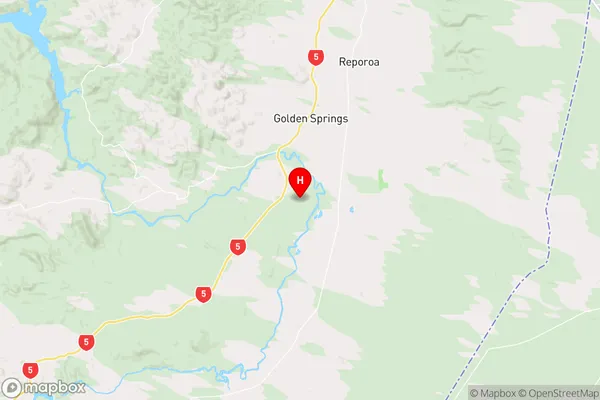
WaikatoOhaaki Region Map
Coordinates
-38.5107994,176.3058901 (latitude/longitude)Distances
The distance from Ohaaki, Reporoa, Taupo District to NZ Top 10 Cities