Northwood Area, Northwood Postcode(8051) & Map in Northwood
Northwood Area, Northwood Postcode(8051) & Map in Northwood, Christchurch City, New Zealand
Northwood, Christchurch City, New Zealand
Northwood Postcodes
Northwood Area (estimated)
7.6 square kilometersNorthwood Population (estimated)
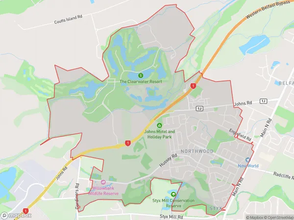
4439 people live in Northwood, Christchurch, NZNorthwood Suburb Area Map (Polygon)
Northwood Introduction
Northwood is a suburb of Christchurch, New Zealand, located in the eastern suburbs of the city. It is known for its large population of Pacific Islanders and has a vibrant community culture. The suburb has a number of popular restaurants and cafes, as well as a large supermarket and a medical center. Northwood is also home to a number of parks and recreational facilities, including a golf course and a sports stadium.Region
Major City
Suburb Name
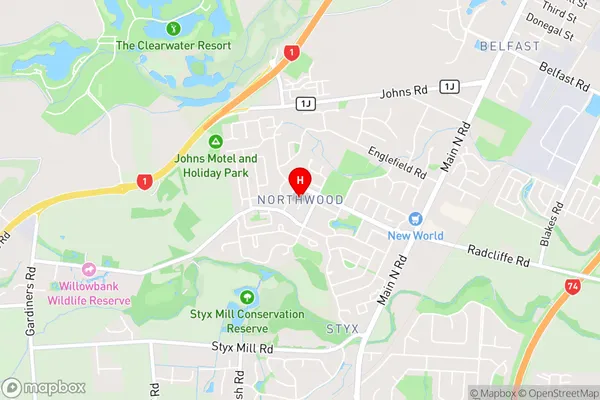
NorthwoodNorthwood Area Map (Street)
Local Authority
Christchurch CityFull Address
Northwood, Christchurch City, New ZealandAddress Type
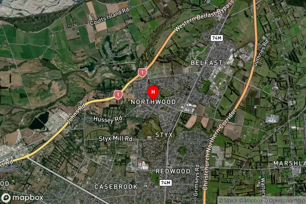
Suburb in City ChristchurchNorthwood Suburb Map (Satellite)
Country
Main Region in AU
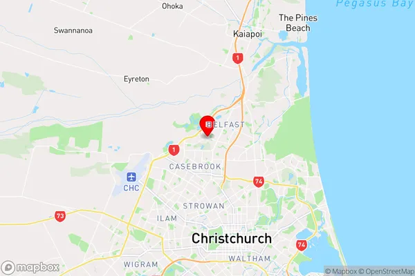
CanterburyNorthwood Region Map
Coordinates
-43.4584518,172.6124722 (latitude/longitude)Distances
The distance from Northwood, Christchurch, Christchurch City to NZ Top 10 Cities