Northcote Area, Northcote Postcode(8051) & Map in Northcote
Northcote Area, Northcote Postcode(8051) & Map in Northcote, Christchurch City, New Zealand
Northcote, Christchurch City, New Zealand
Northcote Area (estimated)
1.5 square kilometersNorthcote Population (estimated)
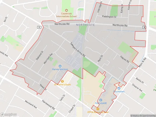
2754 people live in Northcote, Christchurch, NZNorthcote Suburb Area Map (Polygon)
Northcote Introduction
Northcote is a suburb of Christchurch, New Zealand, located on the banks of the Avon River. It is known for its historic buildings, vibrant arts scene, and popular cafes and restaurants. The suburb has a strong community spirit and is home to many artists, musicians, and professionals. Northcote also has a number of parks and recreational facilities, including the Northcote Pool and Recreation Centre and Northcote Park.Region
Major City
Suburb Name
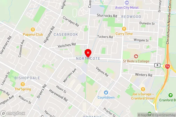
NorthcoteNorthcote Area Map (Street)
Local Authority
Christchurch CityFull Address
Northcote, Christchurch City, New ZealandAddress Type
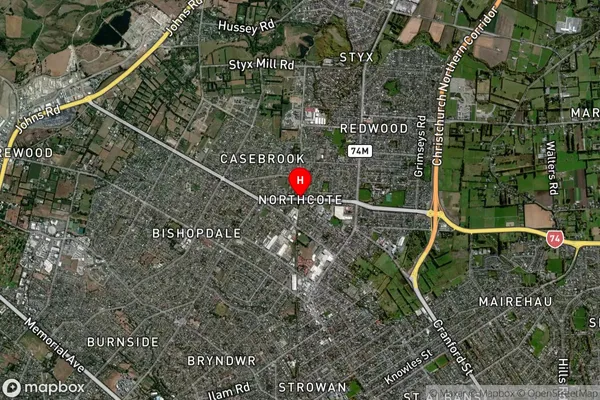
Suburb in City ChristchurchNorthcote Suburb Map (Satellite)
Country
Main Region in AU
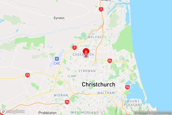
CanterburyNorthcote Region Map
Coordinates
-43.4842738,172.606482 (latitude/longitude)Distances
The distance from Northcote, Christchurch, Christchurch City to NZ Top 10 Cities