Norfolk Area, Norfolk Postcode(4347) & Map in Norfolk
Norfolk Area, Norfolk Postcode(4347) & Map in Norfolk, New Plymouth District, New Zealand
Norfolk, New Plymouth District, New Zealand
Norfolk Postcodes
Norfolk Area (estimated)
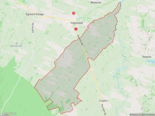
71.1 square kilometersNorfolk Population (estimated)
605 people live in Norfolk, Taranaki, NZNorfolk Suburb Area Map (Polygon)
Norfolk Introduction
Norfolk is a small town in Taranaki, New Zealand. It is located on State Highway 1 and is about 35 minutes south of New Plymouth. The town has a population of around 1,000 people and is known for its scenic countryside and historic buildings. The Norfolk Hotel is a popular destination for tourists and locals alike, and the town also has a golf course, a bowling club, and a community hall.Region
0Suburb Name
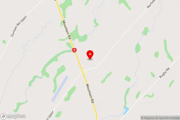
NorfolkNorfolk Area Map (Street)
Local Authority
New Plymouth DistrictFull Address
Norfolk, New Plymouth District, New ZealandAddress Type
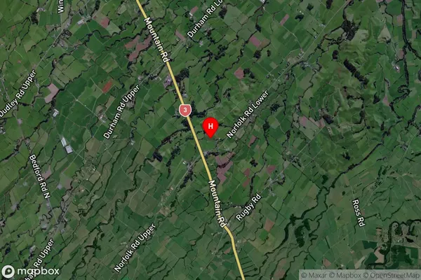
Locality in Major Locality NorfolkNorfolk Suburb Map (Satellite)
Country
Main Region in AU
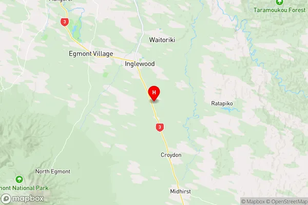
TaranakiNorfolk Region Map
Coordinates
-39.1985968,174.231409 (latitude/longitude)Distances
The distance from Norfolk, Norfolk, New Plymouth District to NZ Top 10 Cities