Ngongotaha Valley Area, Ngongotaha Valley Postcode(3072) & Map in Ngongotaha Valley
Ngongotaha Valley Area, Ngongotaha Valley Postcode(3072) & Map in Ngongotaha Valley, Rotorua District, New Zealand
Ngongotaha Valley, Rotorua District, New Zealand
Ngongotaha Valley Area (estimated)
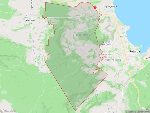
123.2 square kilometersNgongotaha Valley Population (estimated)
519 people live in Ngongotaha Valley, Rotorua, NZNgongotaha Valley Suburb Area Map (Polygon)
Ngongotaha Valley Introduction
Ngongotaha Valley is a hidden gem in Rotorua, Bay of Plenty, New Zealand. It offers stunning natural scenery, including waterfalls, forests, and geothermal fields. Visitors can explore the valley on foot, by bike, or by boat, and enjoy activities such as hiking, kayaking, and zip-lining. The area is also home to the famous Ngongotaha Hot Springs, which are believed to have healing properties.Region
Major City
Suburb Name
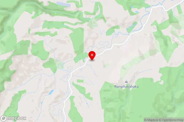
Ngongotaha Valley (Maori Name: Ngongotahā Valley)Ngongotaha Valley Area Map (Street)
Local Authority
Rotorua DistrictFull Address
Ngongotaha Valley, Rotorua District, New ZealandAddress Type
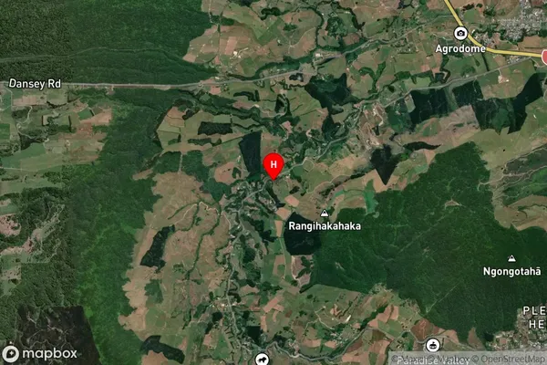
Locality in City RotoruaNgongotaha Valley Suburb Map (Satellite)
Country
Main Region in AU
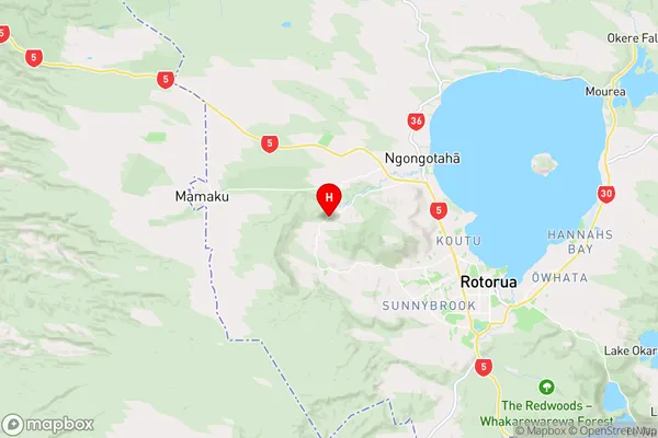
Bay of PlentyNgongotaha Valley Region Map
Coordinates
-38.107121,176.1530498 (latitude/longitude)Distances
The distance from Ngongotaha Valley, Rotorua, Rotorua District to NZ Top 10 Cities