Ngaumu Area, Ngaumu Postcode & Map in Ngaumu
Ngaumu Area, Ngaumu Postcode & Map in Ngaumu, Masterton District,
Ngaumu, Masterton District,
Ngaumu Area (estimated)
104.8 square kilometersNgaumu Population (estimated)
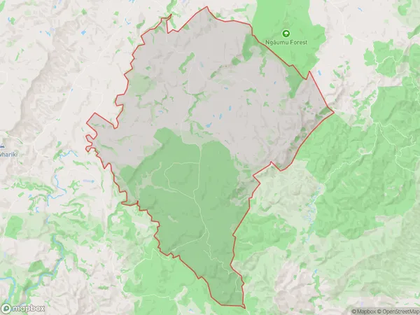
59 people live in Ngaumu, Masterton, NZNgaumu Suburb Area Map (Polygon)
Ngaumu Introduction
Ngaumu, Wainuioru, Wellington, New Zealand, is a forested area known for its rich biodiversity and cultural significance to the local Māori people. It is located in the southern region of the Wellington metropolitan area and is part of the Wellington Forest Park. The forest covers an area of approximately 100 hectares and is home to a variety of plant and animal species, including native birds, reptiles, and insects. The area also has several walking and hiking trails, as well as a picnic area and a children's playground.Region
Major City
Suburb Name
NgaumuNgaumu Area Map (Street)
Local Authority
Masterton DistrictFull Address
Ngaumu, Masterton District,Address Type
Locality in Major Locality WainuioruNgaumu Suburb Map (Satellite)
Country
Main Region in AU
WellingtonNgaumu Region Map
Coordinates
0,0 (latitude/longitude)Distances
The distance from Ngaumu, Wainuioru, Masterton District to NZ Top 10 Cities