Ngatea Area, Ngatea Postcode(3503) & Map in Ngatea
Ngatea Area, Ngatea Postcode(3503) & Map in Ngatea, Hauraki District, New Zealand
Ngatea, Hauraki District, New Zealand
Ngatea Area (estimated)
63.8 square kilometersNgatea Population (estimated)
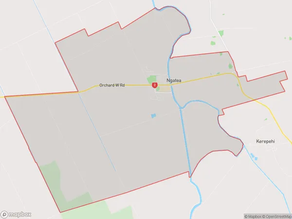
1893 people live in Ngatea, Waikato, NZNgatea Suburb Area Map (Polygon)
Ngatea Introduction
Ngatea is a small town in the Waikato region of New Zealand, located on the banks of the Ngatea River. It is known for its beautiful rural scenery, historic buildings, and vibrant community. The town has a population of around 1,000 people and is a popular destination for tourists and locals alike. It is also home to a number of popular attractions, including the Ngatea Pottery, the Ngatea Forest Park, and the Ngatea Golf Club.Region
Major City
Suburb Name
NgateaOther Name(s)
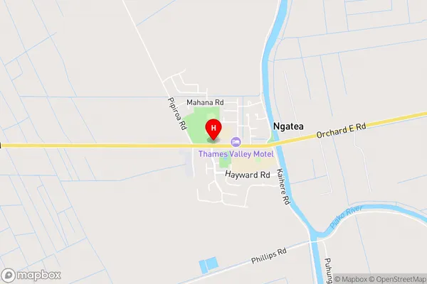
HorahiaNgatea Area Map (Street)
Local Authority
Hauraki DistrictFull Address
Ngatea, Hauraki District, New ZealandAddress Type
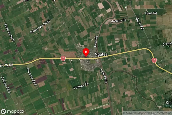
Suburb in Town NgateaNgatea Suburb Map (Satellite)
Country
Main Region in AU
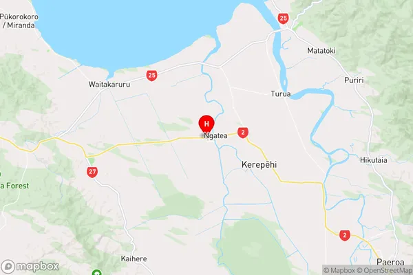
WaikatoNgatea Region Map
Coordinates
-37.2757232,175.4916548 (latitude/longitude)Distances
The distance from Ngatea, Ngatea, Hauraki District to NZ Top 10 Cities