Ngapuke Area, Ngapuke Postcode(3994) & Map in Ngapuke
Ngapuke Area, Ngapuke Postcode(3994) & Map in Ngapuke, Ruapehu District, New Zealand
Ngapuke, Ruapehu District, New Zealand
Ngapuke Postcodes
Ngapuke Area (estimated)
212.5 square kilometersNgapuke Population (estimated)
70 people live in Ngapuke, Manawatu-Wanganui, NZNgapuke Suburb Area Map (Polygon)

Ngapuke Introduction
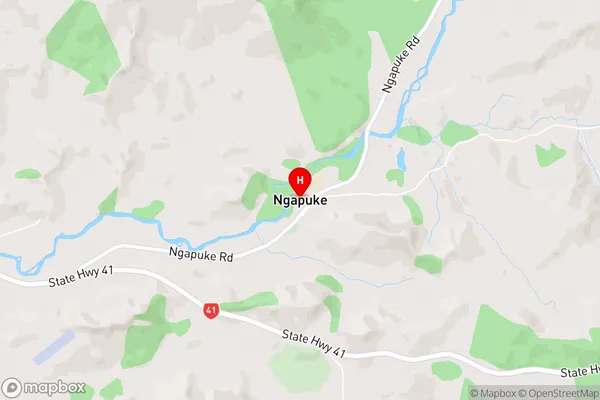
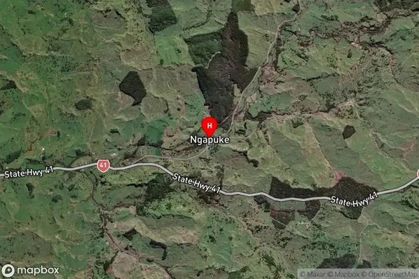
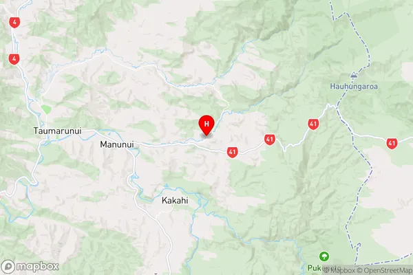
Ngapuke is a small rural community located in the Taumarunui District of Manawatu-Wanganui, New Zealand. It is situated on the banks of the Ngapuke River, approximately 30 kilometers northwest of Taumarunui. The community has a population of around 500 people and is known for its scenic surroundings, including the Ngapuke Gorge and the surrounding farmland. Ngapuke is also home to a number of historic buildings, including the Ngapuke Church and the Ngapuke Pa. The area is popular with outdoor enthusiasts, with many opportunities for hiking, fishing, and hunting.Region
Major City
Suburb Name
NgapukeNgapuke Area Map (Street)
Local Authority
Ruapehu DistrictFull Address
Ngapuke, Ruapehu District, New ZealandAddress Type
Locality in Town TaumarunuiNgapuke Suburb Map (Satellite)
Country
Main Region in AU
Manawatu-WanganuiNgapuke Region Map
Coordinates
-38.8865398,175.4149461 (latitude/longitude)Distances
The distance from Ngapuke, Taumarunui, Ruapehu District to NZ Top 10 Cities