Ngapara Area, Ngapara Postcode & Map in Ngapara
Ngapara Area, Ngapara Postcode & Map in Ngapara, Waitaki District, New Zealand
Ngapara, Waitaki District, New Zealand
Ngapara Area (estimated)
9.6 square kilometersNgapara Population (estimated)
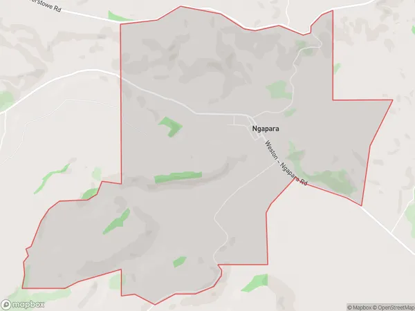
72 people live in Ngapara, Otago, NZNgapara Suburb Area Map (Polygon)
Ngapara Introduction
Ngapara is a small coastal town in Otago, New Zealand, known for its stunning beaches, rugged coastline, and vibrant cultural heritage. It is located in the Oamaru District and is a popular destination for tourists and locals alike. The town has a population of around 1,200 people and is surrounded by picturesque farmland and native forests. Ngapara has a rich history, with its first settlers arriving in the area in the 1860s. The town was named after the Ngapara people, who are the indigenous people of the region.Region
Major City
Suburb Name
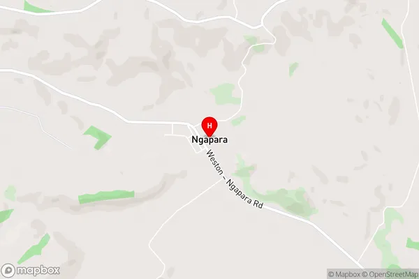
NgaparaNgapara Area Map (Street)
Local Authority
Waitaki DistrictFull Address
Ngapara, Waitaki District, New ZealandAddress Type
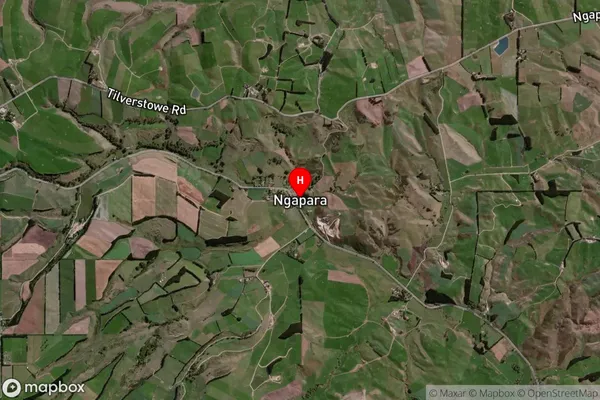
Locality in Town OamaruNgapara Suburb Map (Satellite)
Country
Main Region in AU
OtagoNgapara Region Map

Coordinates
-44.9501834,170.7528055 (latitude/longitude)Distances
The distance from Ngapara, Oamaru, Waitaki District to NZ Top 10 Cities