Ngakuta Bay Area, Ngakuta Bay Postcode(7220) & Map in Ngakuta Bay
Ngakuta Bay Area, Ngakuta Bay Postcode(7220) & Map in Ngakuta Bay, Marlborough District, New Zealand
Ngakuta Bay, Marlborough District, New Zealand
Ngakuta Bay Postcodes
Ngakuta Bay Area (estimated)
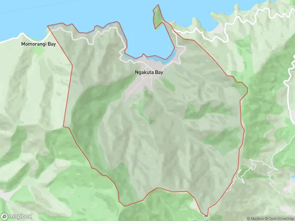
8.5 square kilometersNgakuta Bay Population (estimated)
85 people live in Ngakuta Bay, Marlborough, NZNgakuta Bay Suburb Area Map (Polygon)
Ngakuta Bay Introduction
Ngakuta Bay is a picturesque and peaceful bay located in Picton, Marlborough, New Zealand. It is known for its stunning turquoise waters, surrounded by lush green hills and picturesque vineyards. The bay offers a range of activities, including swimming, kayaking, and fishing, and is a popular spot for tourists to relax and enjoy the natural beauty of the area.Region
Major City
Suburb Name
Ngakuta Bay (Maori Name: Ngākuta Bay)Other Name(s)
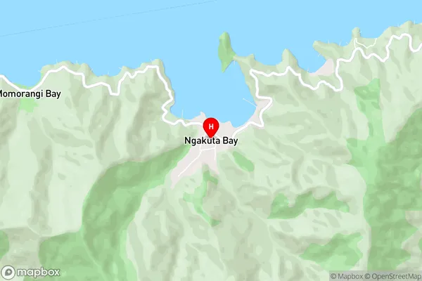
Momorangi, The ElevationNgakuta Bay Area Map (Street)
Local Authority
Marlborough DistrictFull Address
Ngakuta Bay, Marlborough District, New ZealandAddress Type
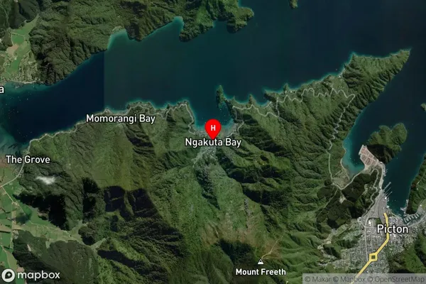
Locality in Town PictonNgakuta Bay Suburb Map (Satellite)
Country
Main Region in AU
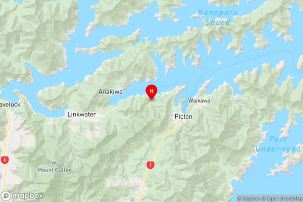
MarlboroughNgakuta Bay Region Map
Coordinates
-41.2751294,173.9635254 (latitude/longitude)Distances
The distance from Ngakuta Bay, Picton, Marlborough District to NZ Top 10 Cities