Ngakawau Area, Ngakawau Postcode(7822) & Map in Ngakawau
Ngakawau Area, Ngakawau Postcode(7822) & Map in Ngakawau, Buller District, New Zealand
Ngakawau, Buller District, New Zealand
Ngakawau Postcodes
Ngakawau Area (estimated)
1.2 square kilometersNgakawau Population (estimated)
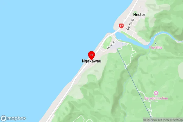
49 people live in Ngakawau, West Coast, NZNgakawau Suburb Area Map (Polygon)

Ngakawau Introduction
Ngakawau is a small rural community on the West Coast of New Zealand's South Island. It is located in the Grey District and is known for its natural beauty, including the Ngakawau River and the surrounding forest. The community has a population of around 100 people and is home to a primary school, a post office, and a small supermarket. Ngakawau is also a popular destination for outdoor enthusiasts, with numerous hiking and tramping tracks in the area.Region
Major City
Suburb Name
NgakawauNgakawau Area Map (Street)
Local Authority
Buller DistrictFull Address
Ngakawau, Buller District, New ZealandAddress Type
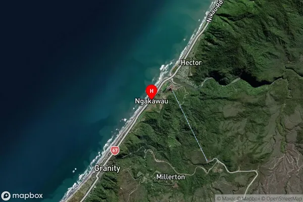
Suburb in Major Locality HectorNgakawau Suburb Map (Satellite)
Country
Main Region in AU
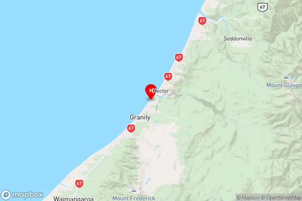
West CoastNgakawau Region Map
Coordinates
-41.6131096,171.8700121 (latitude/longitude)Distances
The distance from Ngakawau, Hector, Buller District to NZ Top 10 Cities