Ngahape Area, Ngahape Postcode(5810) & Map in Ngahape
Ngahape Area, Ngahape Postcode(5810) & Map in Ngahape, Masterton District, New Zealand
Ngahape, Masterton District, New Zealand
Ngahape Postcodes
Ngahape Area (estimated)
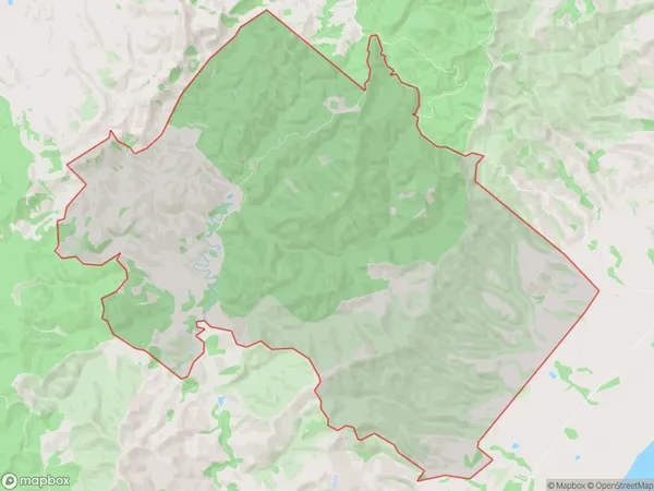
62.5 square kilometersNgahape Population (estimated)
24 people live in Ngahape, Wellington, NZNgahape Suburb Area Map (Polygon)
Ngahape Introduction
Ngahape is a small rural town in the Masterton District of the Wellington Region of New Zealand. It is located on State Highway 2, approximately 30 km southeast of Masterton. The town has a population of around 200 people and is known for its scenic rural setting and historic buildings. Ngahape was originally a coal mining town, but the industry has declined since the 1980s. The town now has a primary school, a post office, a community hall, and a few small businesses.Region
Major City
Suburb Name
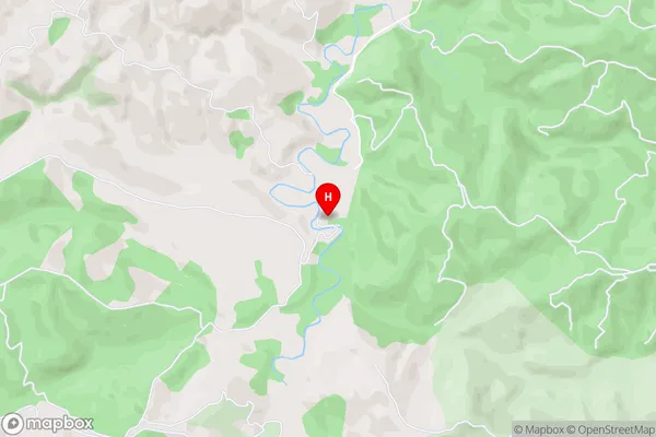
Ngahape (Maori Name: Ngāhape)Ngahape Area Map (Street)
Local Authority
Masterton DistrictFull Address
Ngahape, Masterton District, New ZealandAddress Type
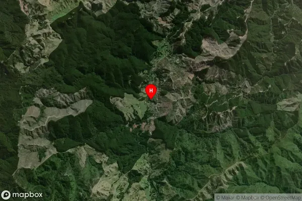
Locality in Town MastertonNgahape Suburb Map (Satellite)
Country
Main Region in AU
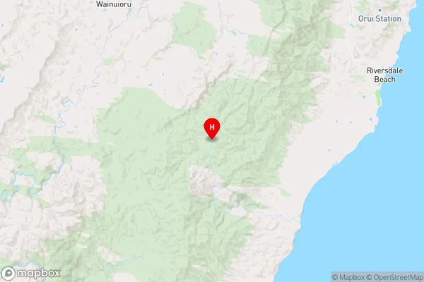
WellingtonNgahape Region Map
Coordinates
-41.1372864,175.9056236 (latitude/longitude)Distances
The distance from Ngahape, Masterton, Masterton District to NZ Top 10 Cities