Newstead Area, Newstead Postcode(3286) & Map in Newstead
Newstead Area, Newstead Postcode(3286) & Map in Newstead, Waikato District, New Zealand
Newstead, Waikato District, New Zealand
Newstead Area (estimated)
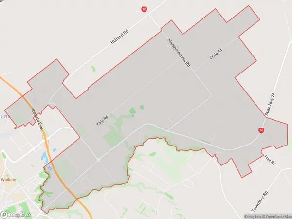
27.0 square kilometersNewstead Population (estimated)
1396 people live in Newstead, Waikato, NZNewstead Suburb Area Map (Polygon)
Newstead Introduction
Newstead is a small town in Hamilton, Waikato, New Zealand. It is known for its historic buildings, including the Newstead House, which is the oldest wooden building in the country. The town also has a beautiful park and a popular pub. Newstead is located on State Highway 1, just north of Hamilton City.Region
Major City
Suburb Name
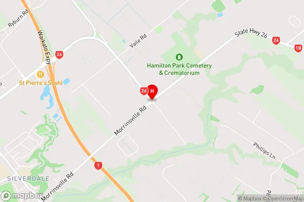
NewsteadNewstead Area Map (Street)
Local Authority
Waikato DistrictFull Address
Newstead, Waikato District, New ZealandAddress Type
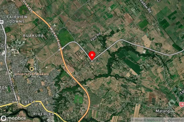
Locality in City HamiltonNewstead Suburb Map (Satellite)
Country
Main Region in AU
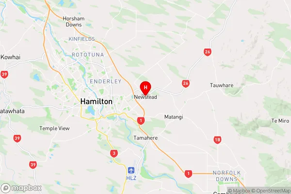
WaikatoNewstead Region Map
Coordinates
-37.7829401,175.3514342 (latitude/longitude)Distances
The distance from Newstead, Hamilton, Waikato District to NZ Top 10 Cities