Nenthorn Area, Nenthorn Postcode & Map in Nenthorn
Nenthorn Area, Nenthorn Postcode & Map in Nenthorn, Waitaki District, New Zealand
Nenthorn, Waitaki District, New Zealand
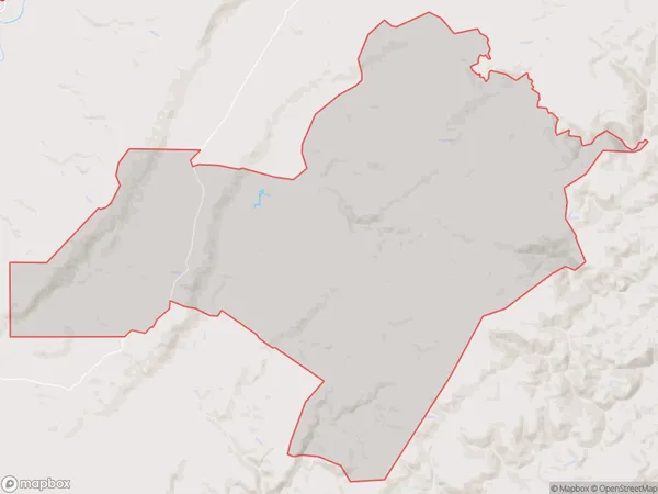
Nenthorn Area (estimated)
213.1 square kilometersNenthorn Population (estimated)
22 people live in Nenthorn, Otago, NZNenthorn Suburb Area Map (Polygon)
Nenthorn Introduction
Nenthorn, Macraes Flat, Otago, New Zealand, is a small rural settlement located in the Central Otago District of the South Island. It is situated on the banks of the Macraes River, approximately 12 kilometers southeast of Alexandra and 105 kilometers northwest of Dunedin. The area was originally settled by Scottish immigrants in the 1860s and is known for its scenic landscapes, including rolling hills, farmland, and picturesque mountains. Nenthorn has a population of around 50 people and is home to a primary school, a church, and a small community hall.Region
0Suburb Name
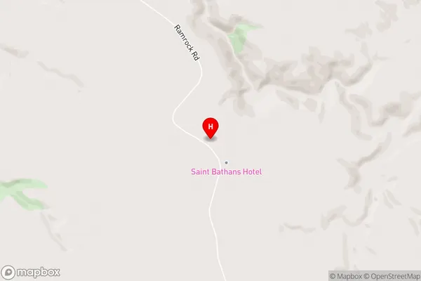
NenthornNenthorn Area Map (Street)
Local Authority
Waitaki DistrictFull Address
Nenthorn, Waitaki District, New ZealandAddress Type
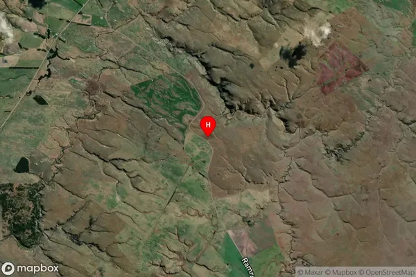
Locality in Major Locality Macraes FlatNenthorn Suburb Map (Satellite)
Country
Main Region in AU
OtagoNenthorn Region Map

Coordinates
-45.4733547,170.3676081 (latitude/longitude)Distances
The distance from Nenthorn, Macraes Flat, Waitaki District to NZ Top 10 Cities