Naenae Area, Naenae Postcode(5011) & Map in Naenae
Naenae Area, Naenae Postcode(5011) & Map in Naenae, Lower Hutt City, New Zealand
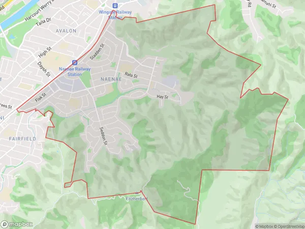
Naenae, Lower Hutt City, New Zealand
Naenae Area (estimated)
12.4 square kilometersNaenae Population (estimated)
10039 people live in Naenae, Lower Hutt, NZNaenae Suburb Area Map (Polygon)
Naenae Introduction
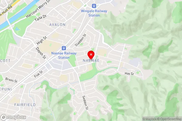
Naenae is a suburb of Lower Hutt, Wellington, New Zealand, with a population of around 5,000 people. It is located on the southern shore of the Hutt River and is known for its vibrant community and picturesque surroundings. The area has a rich history, with several historic buildings and landmarks, including the Naenae Pool and the Naenae Community Centre. Naenae is also home to a variety of shops, restaurants, and recreational facilities, including the Naenae Park and Sports Complex.Region
Major City
Suburb Name
NaenaeNaenae Area Map (Street)
Local Authority
Lower Hutt CityFull Address
Naenae, Lower Hutt City, New ZealandAddress Type
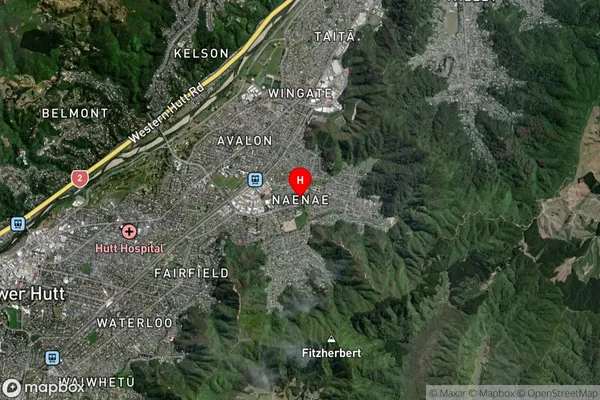
Suburb in City Lower HuttNaenae Suburb Map (Satellite)
Country
Main Region in AU
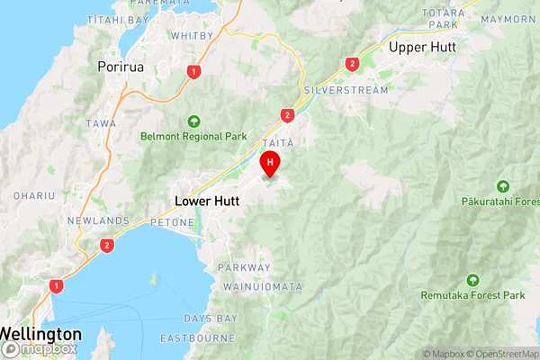
WellingtonNaenae Region Map
Coordinates
-41.200486,174.9537984 (latitude/longitude)Distances
The distance from Naenae, Lower Hutt, Lower Hutt City to NZ Top 10 Cities