ZipCode 6574 Areas, AU PostCode 6574 Suburbs
Postcode 6574 Suburbs, ZipCode 6574 Areas & Regions in Wheat Belt - North,WA Australia
There are at least 2 AU suburbs share the same AU PostCode 6574 Suburbs in Wheat Belt - North.
Postal Code 6574 Regions
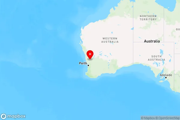
The Australia postcode 6574 regions include Moora in the areas of Wheat Belt - North, Moora, These postcode areas are all located in the state Western Australia, WA.Australia postcode 6574 is located in the state of Western Australia, in the Mid West region. It covers an area of approximately 1,250 square kilometers and has a population of around 1,500 people. The postcode includes the towns of Geraldton, Dongara, and Port Denison.
ZipCode 6574 Areas Map for Moora

AU PostCode 6574 Suburbs
AU PostCode 6574 suburbs contain Bindi Bindi, Gabalong, you can check the below link to see the 2 suburbs detailed information.
AU PostCode 6574 Suburbs Map
ZipCode 6574 Areas
1. Bindi Bindi
2. Gabalong