ZipCode 6505 Areas, AU PostCode 6505 Suburbs
Postcode 6505 Suburbs, ZipCode 6505 Areas & Regions in Wheat Belt - North,WA Australia
There are at least 1 AU suburbs share the same AU PostCode 6505 Suburbs in Wheat Belt - North.
Postal Code 6505 Regions
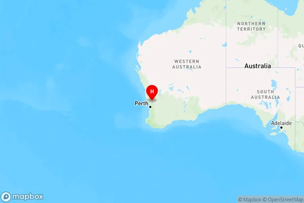
The Australia postcode 6505 regions include Chittering in the areas of Wheat Belt - North, Chittering, These postcode areas are all located in the state Western Australia, WA.Australia postcode 6505 is located in the state of Western Australia, in the City of Bunbury. It covers an area of approximately 1.8 square kilometers and has a population of approximately 1,500 people. The postcode includes the suburbs of Australind, Leschenault, and Picton.
ZipCode 6505 Areas Map for Chittering

AU PostCode 6505 Suburbs
AU PostCode 6505 suburbs contain Wannamal, you can check the below link to see the 1 suburb detailed information.
AU PostCode 6505 Suburbs Map
ZipCode 6505 Areas
1. Wannamal