ZipCode 6426 Areas, AU PostCode 6426 Suburbs
Postcode 6426 Suburbs, ZipCode 6426 Areas & Regions in Wheat Belt - North,WA Australia
There are at least 14 AU suburbs share the same AU PostCode 6426 Suburbs in Wheat Belt - North.
Postal Code 6426 Regions
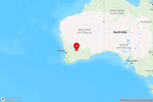
The Australia postcode 6426 regions include Mukinbudin in the areas of Wheat Belt - North, Mukinbudin, These postcode areas are all located in the state Western Australia, WA.Australia postcode 6426 is located in the state of Western Australia, in the Mid West region. It covers an area of approximately 1,112 square kilometers and has a population of approximately 1,500 people. The postcode includes the town of Geraldton, as well as surrounding areas such as Eneabba, Mullewa, and Yalgoo.
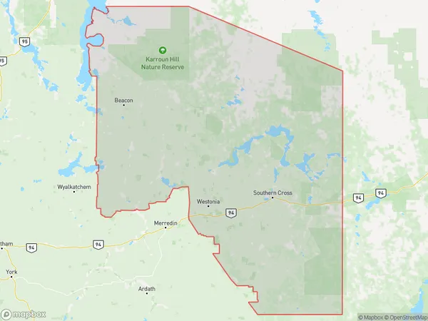
ZipCode 6426 Areas Map for Mukinbudin
AU PostCode 6426 Suburbs
AU PostCode 6426 suburbs contain Marvel Loch, Mount Hampton, Parker Range, Skeleton Rock, Yellowdine, Mount Palmer, Ghooli, Mount Jackson, South Yilgarn, Southern Cross, Corinthia, Holleton, Mount Holland, Turkey Hill, you can check the below link to see the 14 suburbs detailed information.
AU PostCode 6426 Suburbs Map
ZipCode 6426 Areas
1. Marvel Loch
2. Mount Hampton
3. Parker Range
4. Skeleton Rock
5. Yellowdine
6. Mount Palmer
7. Ghooli
8. Mount Jackson
9. South Yilgarn
10. Southern Cross
11. Corinthia
12. Holleton
13. Mount Holland
14. Turkey Hill