ZipCode 6338 Areas, AU PostCode 6338 Suburbs
Postcode 6338 Suburbs, ZipCode 6338 Areas & Regions in Albany,WA Australia
There are at least 9 AU suburbs share the same AU PostCode 6338 Suburbs in Albany.
Postal Code 6338 Regions
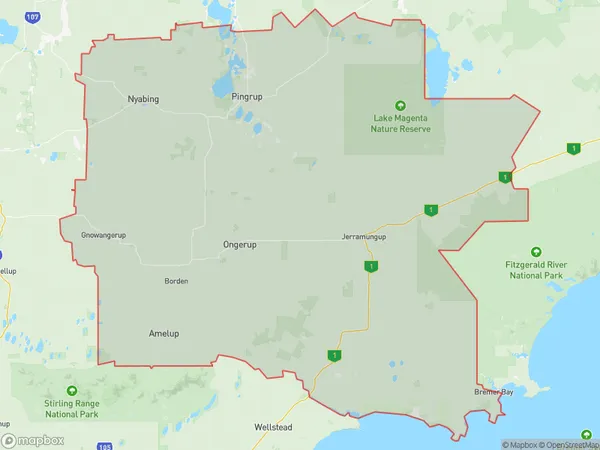
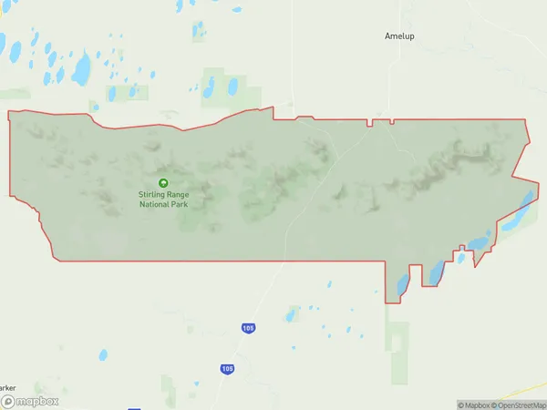
The Australia postcode 6338 regions include Gnowangerup, Stirling Range National Park in the areas of Albany, Gnowangerup, These postcode areas are all located in the state Western Australia, WA.
ZipCode 6338 Areas Map for Gnowangerup
AU PostCode 6338 Suburbs Map for Stirling Range National Park
AU PostCode 6338 Suburbs
AU PostCode 6338 suburbs contain Borden, Bremer Bay, Nalyerlup, Stirling Range National Park, North Stirlings, Amelup, Boxwood Hill, Magitup, Monjebup, you can check the below link to see the 9 suburbs detailed information.
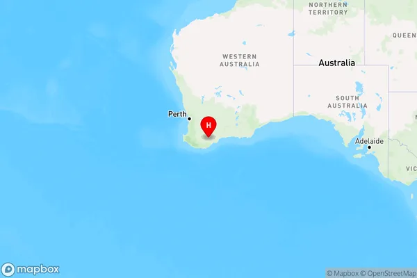
AU PostCode 6338 Suburbs Map
ZipCode 6338 Areas
1. Borden
2. Bremer Bay
3. Nalyerlup
4. Stirling Range National Park
5. North Stirlings
6. Amelup
7. Boxwood Hill
8. Magitup
9. Monjebup