ZipCode 6302 Areas, AU PostCode 6302 Suburbs
Postcode 6302 Suburbs, ZipCode 6302 Areas & Regions in Wheat Belt - North,WA Australia
There are at least 24 AU suburbs share the same AU PostCode 6302 Suburbs in Wheat Belt - North.
Postal Code 6302 Regions
The Australia postcode 6302 regions include York - Beverley in the areas of Wheat Belt - North, York - Beverley, These postcode areas are all located in the state Western Australia, WA.Australia postcode 6302 is located in the state of Western Australia. It covers the area around the town of Bunbury, which is approximately 170 kilometers south of Perth. The postcode includes the suburbs of Bunbury, Eaton, Leschenault, and Australind.
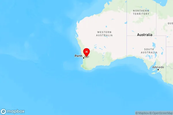
ZipCode 6302 Areas Map for York - Beverley

AU PostCode 6302 Suburbs
AU PostCode 6302 suburbs contain Burges, Daliak, Mount Hardey, St Ronans, Talbot West, York, Cold Harbour, Flint, Gilgering, Greenhills, Gwambygine, Caljie, Kauring, Malebelling, Mount Observation, Narraloggan, Saint Ronans, Talbot, Wilberforce, Badgin, Balladong, Flynn, Inkpen, Quellington, you can check the below link to see the 24 suburbs detailed information.
AU PostCode 6302 Suburbs Map
ZipCode 6302 Areas
1. Burges
2. Daliak
3. Mount Hardey
4. St Ronans
5. Talbot West
6. York
7. Cold Harbour
8. Flint
9. Gilgering
10. Greenhills
11. Gwambygine
12. Caljie
13. Kauring
14. Malebelling
15. Mount Observation
16. Narraloggan
17. Saint Ronans
18. Talbot
19. Wilberforce
20. Badgin
21. Balladong
22. Flynn
23. Inkpen
24. Quellington