Mudamuckla Area, Mudamuckla Postcode(5680) & Map in Mudamuckla, South Australia - Outback, SA
Mudamuckla Area, Mudamuckla Postcode(5680) & Map in Mudamuckla, South Australia - Outback, SA, AU, Postcode: 5680
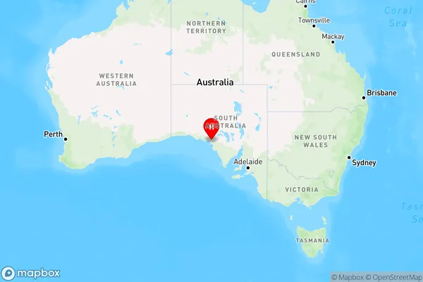
Mudamuckla, West Coast (SA), Eyre Peninsula and South West, South Australia - Outback, South Australia, Australia, 5680
Mudamuckla Postcode
Area Name
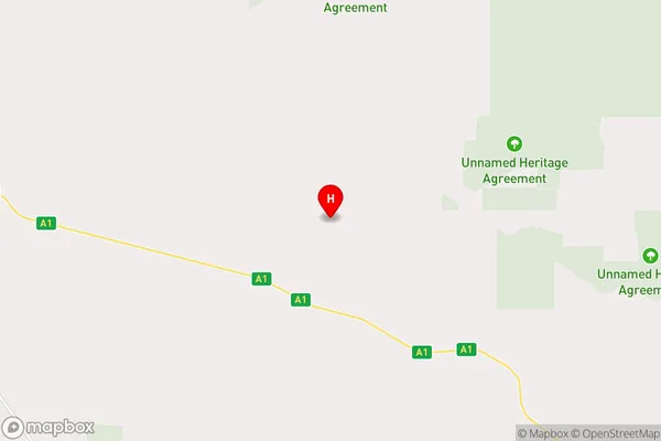
MudamucklaMudamuckla Suburb Area Map (Polygon)

Mudamuckla Introduction
Mudamuckla is a small town in South Australia, located in the Outback region. It is known for its natural beauty, including the Mudamuckla National Park and the Flinders Ranges. The town has a population of around 1,000 people and is a popular destination for tourists and outdoor enthusiasts.State Name
City or Big Region
District or Regional Area
Suburb Name
Mudamuckla Region Map
Country
Main Region in AU
R3Coordinates
-32.1418583,134.0510348 (latitude/longitude)Mudamuckla Area Map (Street)
Longitude
134.37909Latitude
-32.672797Mudamuckla Elevation
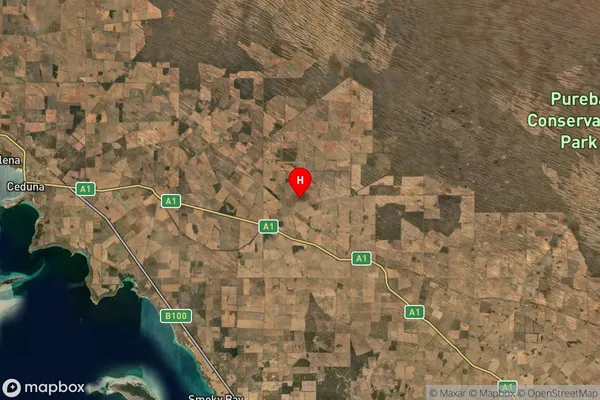
about 82.36 meters height above sea level (Altitude)Mudamuckla Suburb Map (Satellite)
Distances
The distance from Mudamuckla, South Australia - Outback, SA to AU Greater Capital CitiesSA1 Code 2011
40601113407SA1 Code 2016
40601113407SA2 Code
406011134SA3 Code
40601SA4 Code
406RA 2011
5RA 2016
5MMM 2015
7MMM 2019
7Charge Zone
S2LGA Region
Streaky BayLGA Code
47490Electorate
Grey