Yantanabie Area, Yantanabie Postcode(5661) & Map in Yantanabie, South Australia - Outback, SA
Yantanabie Area, Yantanabie Postcode(5661) & Map in Yantanabie, South Australia - Outback, SA, AU, Postcode: 5661
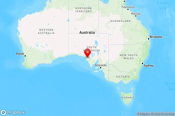
Yantanabie, West Coast (SA), Eyre Peninsula and South West, South Australia - Outback, South Australia, Australia, 5661
Yantanabie Postcode
Area Name
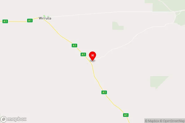
YantanabieYantanabie Suburb Area Map (Polygon)

Yantanabie Introduction
Yantanabie is a small town in South Australia's Outback, located 200 km north of Port Augusta. It is known for its natural beauty, including the Yantanabie Rockhole and the Yantanabie Waterhole. The town is a popular destination for camping, fishing, and hiking, and is home to a number of Aboriginal communities.State Name
City or Big Region
District or Regional Area
Suburb Name
Yantanabie Region Map
Country
Main Region in AU
R3Coordinates
-32.4867567,134.640484 (latitude/longitude)Yantanabie Area Map (Street)
Longitude
134.539431Latitude
-32.360111Yantanabie Elevation
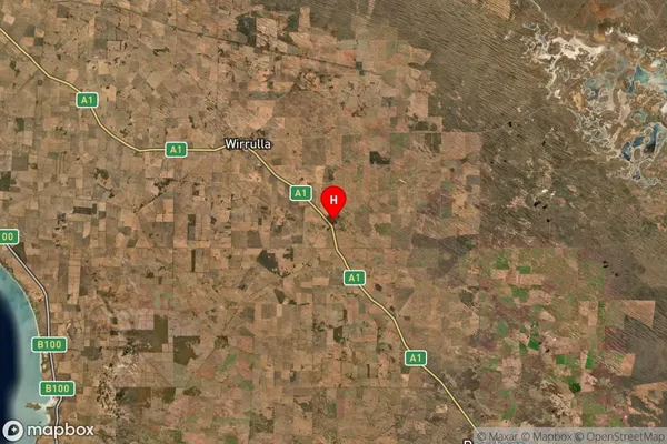
about 92.10 meters height above sea level (Altitude)Yantanabie Suburb Map (Satellite)
Distances
The distance from Yantanabie, South Australia - Outback, SA to AU Greater Capital CitiesSA1 Code 2011
40601113405SA1 Code 2016
40601113405SA2 Code
406011134SA3 Code
40601SA4 Code
406RA 2011
5RA 2016
5MMM 2015
7MMM 2019
7Charge Zone
S2LGA Region
Streaky BayLGA Code
47490Electorate
Grey