Paney Area, Paney Postcode(5652) & Map in Paney, South Australia - Outback, SA
Paney Area, Paney Postcode(5652) & Map in Paney, South Australia - Outback, SA, AU, Postcode: 5652
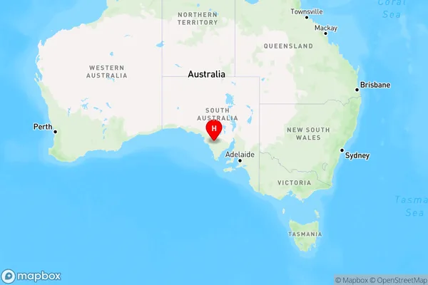
Paney, Le Hunte - Elliston, Eyre Peninsula and South West, South Australia - Outback, South Australia, Australia, 5652
Paney Postcode
Area Name
PaneyPaney Suburb Area Map (Polygon)

Paney Introduction
Paney is a small town in South Australia's Outback, located on the Eyre Highway. It is known for its historic pub and the nearby Paney Rocks, which are a popular rock climbing destination. The town is also home to a small population of Aboriginal people.State Name
City or Big Region
District or Regional Area
Suburb Name
Paney Region Map
Country
Main Region in AU
R3Coordinates
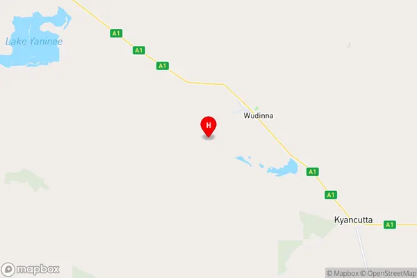
-33.0665995,135.4121561 (latitude/longitude)Paney Area Map (Street)
Longitude
135.249834Latitude
-33.091309Paney Elevation
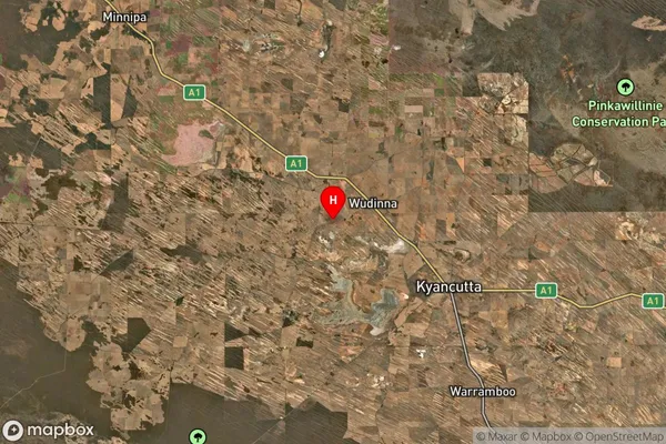
about 75.85 meters height above sea level (Altitude)Paney Suburb Map (Satellite)
Distances
The distance from Paney, South Australia - Outback, SA to AU Greater Capital CitiesSA1 Code 2011
40601113205SA1 Code 2016
40601113205SA2 Code
406011132SA3 Code
40601SA4 Code
406RA 2011
5RA 2016
5MMM 2015
7MMM 2019
7Charge Zone
S2LGA Region
WudinnaLGA Code
48640Electorate
Grey